: Długopole Zdrój – Puchaczówka Pass")
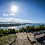
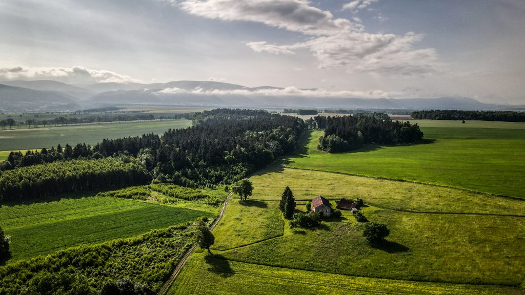
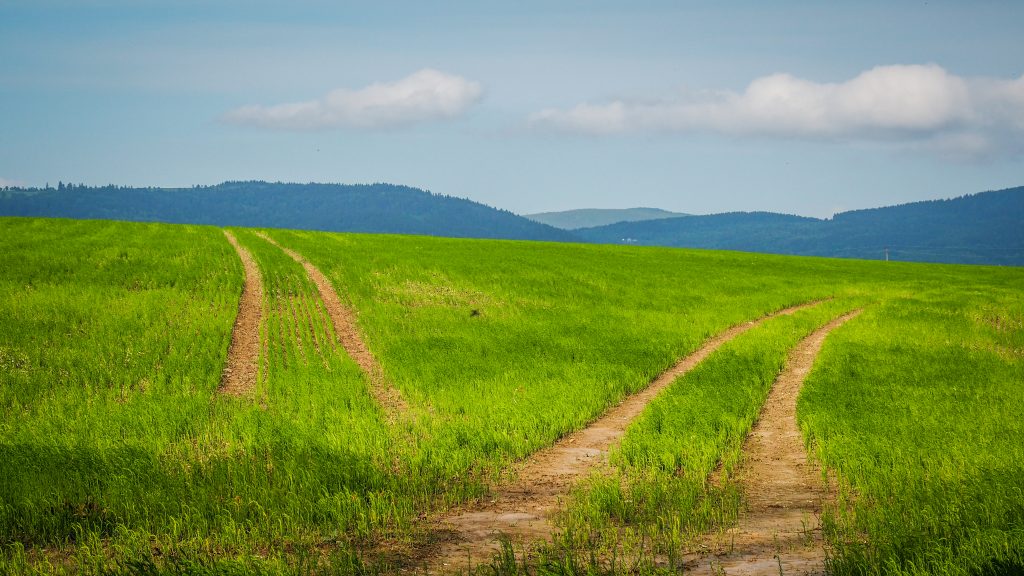
The track leaves Długopole Zdrój climbing above railway tracks into the forest. Going at its edge, I could see a nice panorama with farmlands and mountains on the horizon. Shortly after, I left the forest and entered meadows. It seems that whoever planned Main Sudetes Trail, didn’t bother to mark in anyhow in case there were no trees to pain on. Therefore, it was a good couple of kilometres with barely any signs. Luckily, having access to free maps on mapa-turystyczna.pl on the phone, I was able to track my position very precisely and avoid getting lost. I suggest you to do the same!


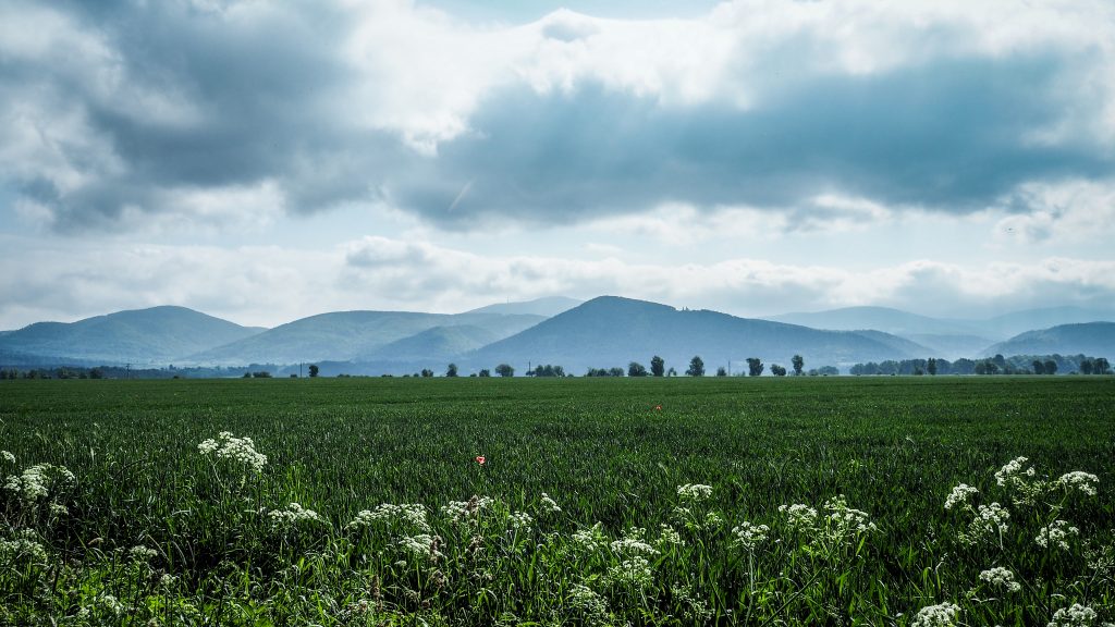
After reaching and crossing road 33, I continued towards Wilkanów where I had my first rest break (around 7 km from the starting point). I knew that the next 6 km will be mostly uphill, so it was a good time to refill calories. First half was rather gentle but the second one leading to Sanctuary of Holy Mary slightly more challenging.
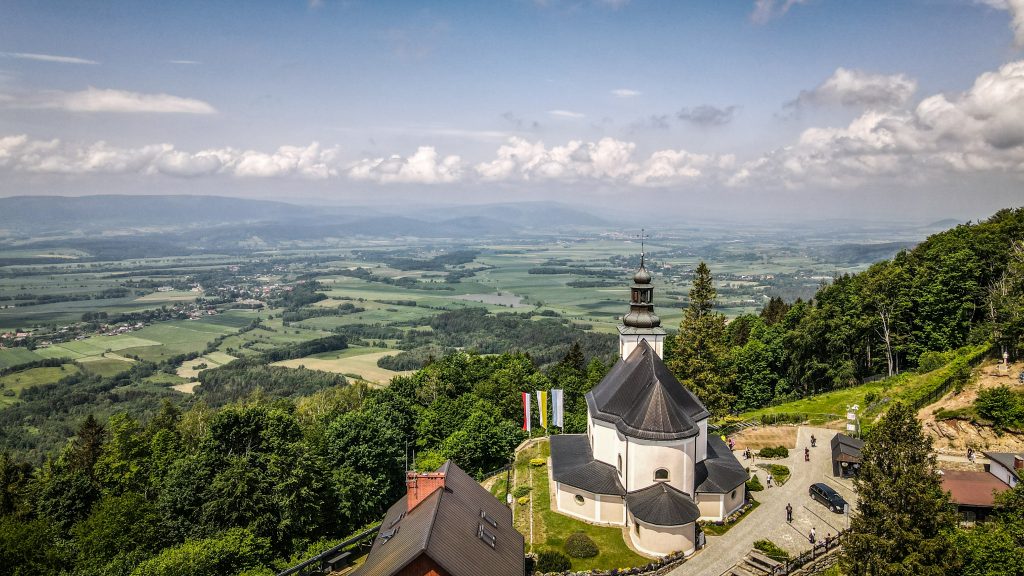
I had a quick look at the church and mountain hut nearby. Views all around the place were super nice! Next, I made a detour to the top of Igliczna (845 m a.s.l.) and came back the same way to rejoin the red track.


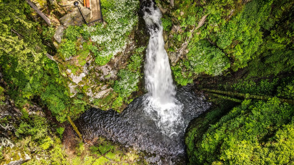
It was nice and quick downhill 3 kilometres bringing me to the second-highest waterfall in the entire Sudetes. Wilczki Falls was created on the line of a tectonic fault, where the Wilczka River falls from a height of 22 meters to the cauldron and continues along a narrow gorge known as the American canyon.
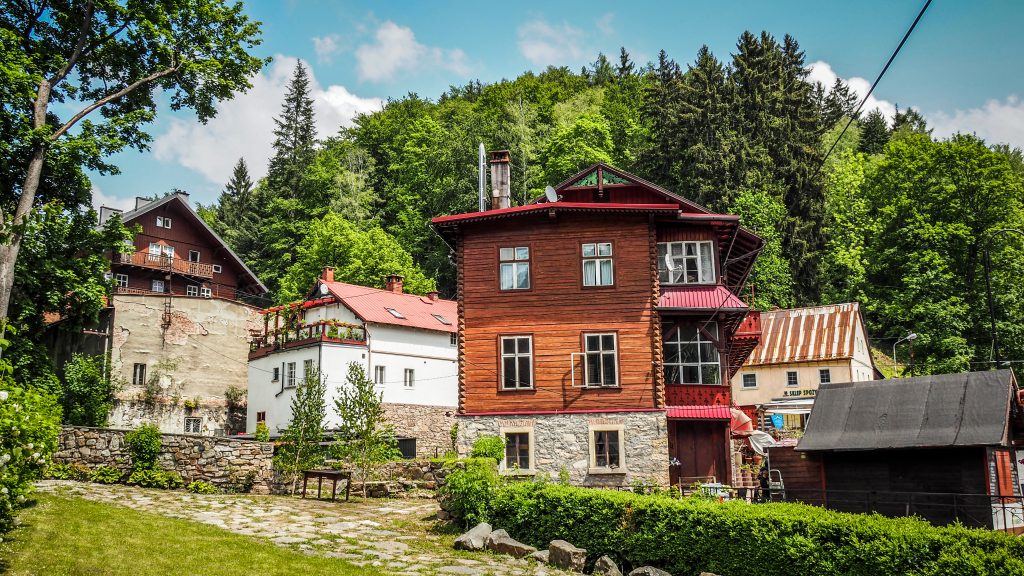
From there, the red track goes into Międzygórze. In 1840 the town and the vicinity of the Śnieżnik Massif were purchased by Princess Marianna Orańska, wife of the Prussian prince Albrecht Hohenzollern. She initiated the development project, transforming it into a popular summer resort. Walking through the town I could still admire unique 19th century Norwegian and Tyrolean guesthouse buildings.
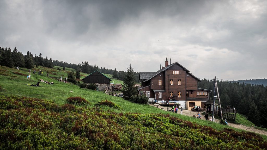
There is another 5-6 km to PTTK Hut on Śnieżnik (1218 m a.s.l.). Its nickname “Swiss” comes from both the style in which the facility was built and the Swiss administrator. Being a very popular destination for day walkers, the path leading to it through the forest is wide and easy to follow. This section is the most challenging part of the day with the highest elevation gain. Pay attention to the nice viewpoint called Goat Rocks (Kozie Skały) on the slope of Średniak.
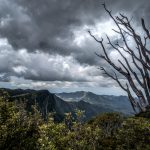
The red track doesn’t go to the summit of Śnieżnik but come on – it’s only half an hour away. The decision couldn’t be different and even though I hesitated for a while due to louder and lauder thunders, shortly after I enjoyed spectacular views from the top.
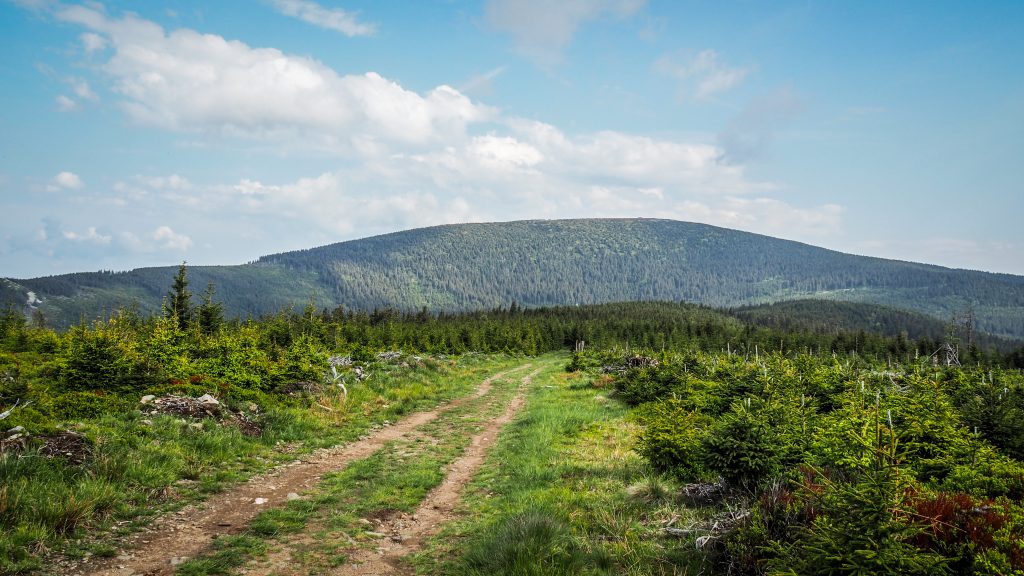
Śnieżnik (1425 m a.s.l.) is the highest peak in the Eastern part of Polish Sudetes. Due to the significant height difference between Śnieżnik and the surrounding peaks, it can be clearly seen from the distance.
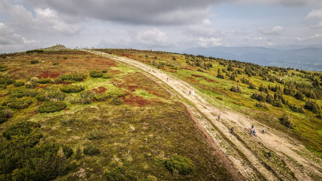

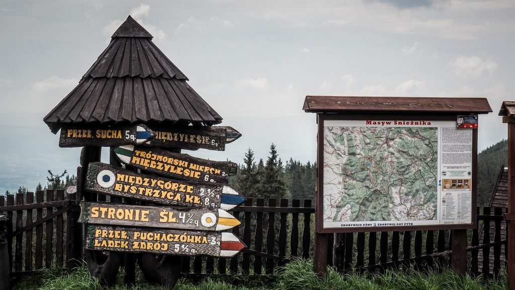
I descended the same way and rejoined the red track leading down Śnieżnicka Pass (Przełęcz Śnieżnicka) and further to Snake Glade (Żmijowa Polana) from where there is the last short ascent of the day to Black Mountain (Czarna Góra). Don’t forget to turn around from time to time to have a glimpse at Śnieżnik.

At the top, there is an observation tower but unfortunately closed for tourists. Remaining distance (2 km) to Puchaczówka Pass is quite a steep downhill walk. Best for you would be to find accommodation somewhere in Sienna village. I wasn’t so lucky and had to spend the night a bit further in Villa Diana near Stronie village. Luckily I managed to hitchhike and save my legs from walking on asphalt road. The villa was very nice, with a beautiful garden and breakfast included. It was also the most expensive accommodation during the entire hike, but well. I felt I deserved it 🙂