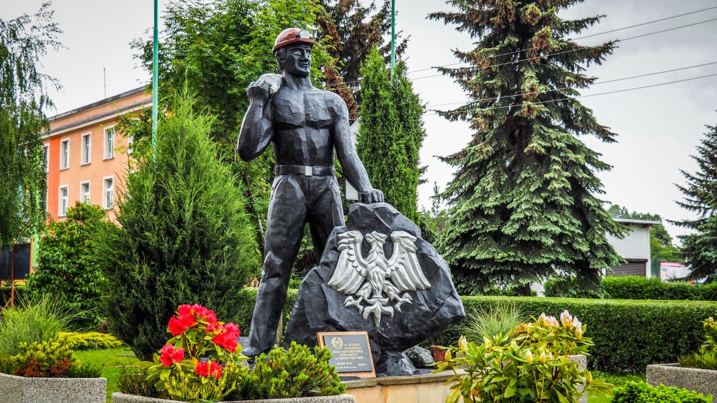
Tag

polish mountains

Browsing

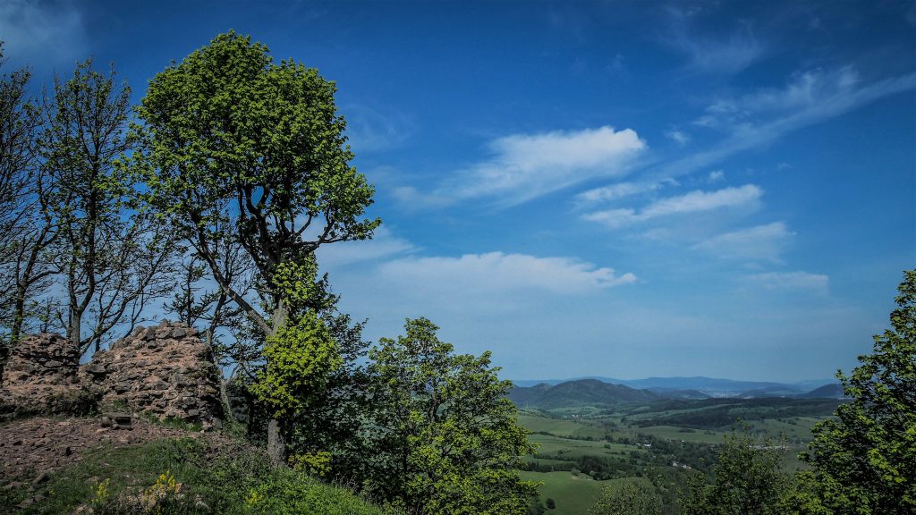
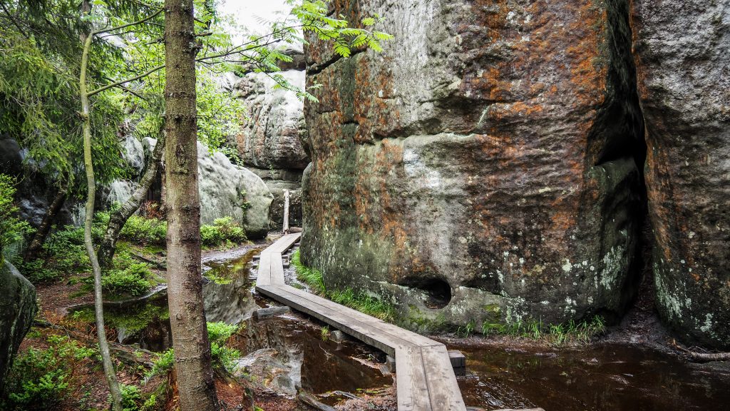
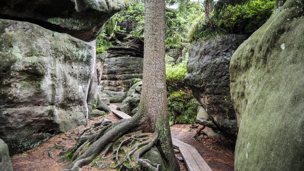
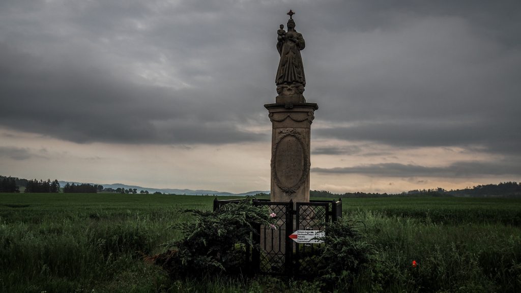
Finally, the moment has come. The last day on the Main Sudetes Trail. I left Głuchołazy in the early morning and started ascent first to Przednia Kopa (495 m a.s.l.) and then to Średnia Kopa (543 m a.s.l.). Even though I already had over 400 km in my legs, I felt surprisingly well.

.

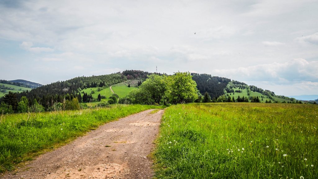
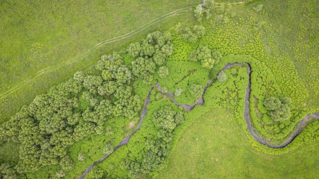
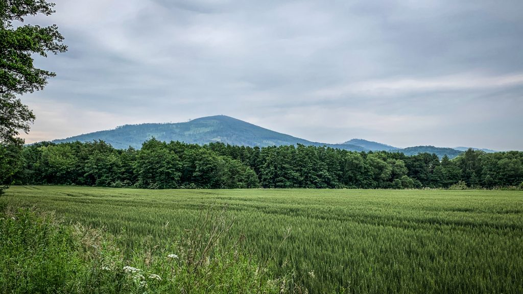
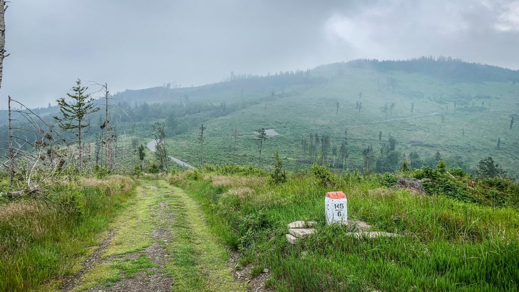
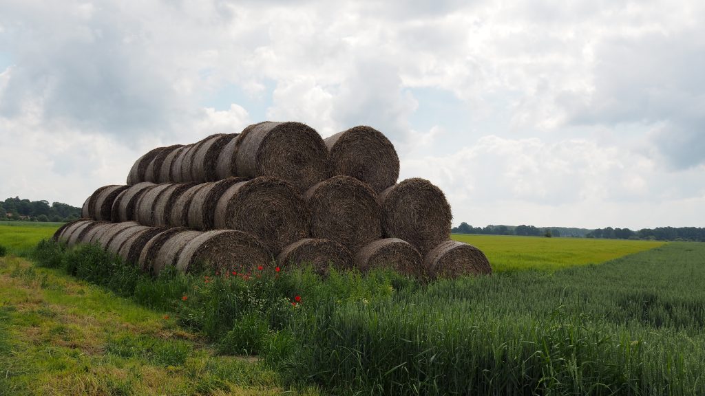
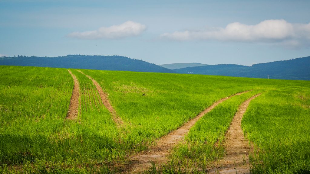
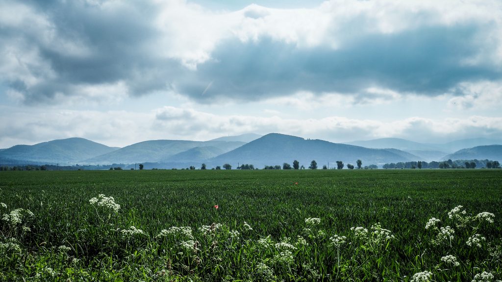
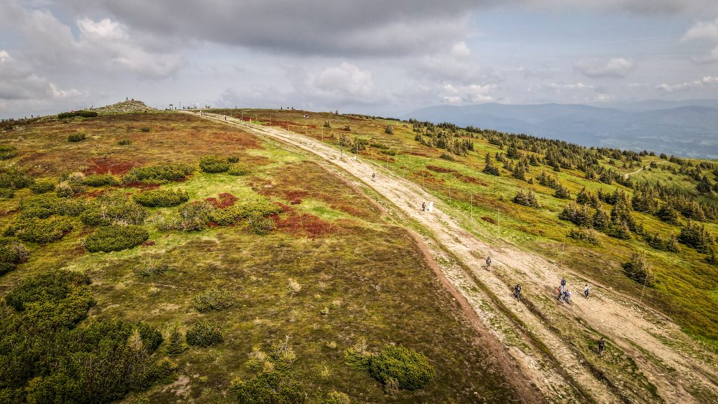
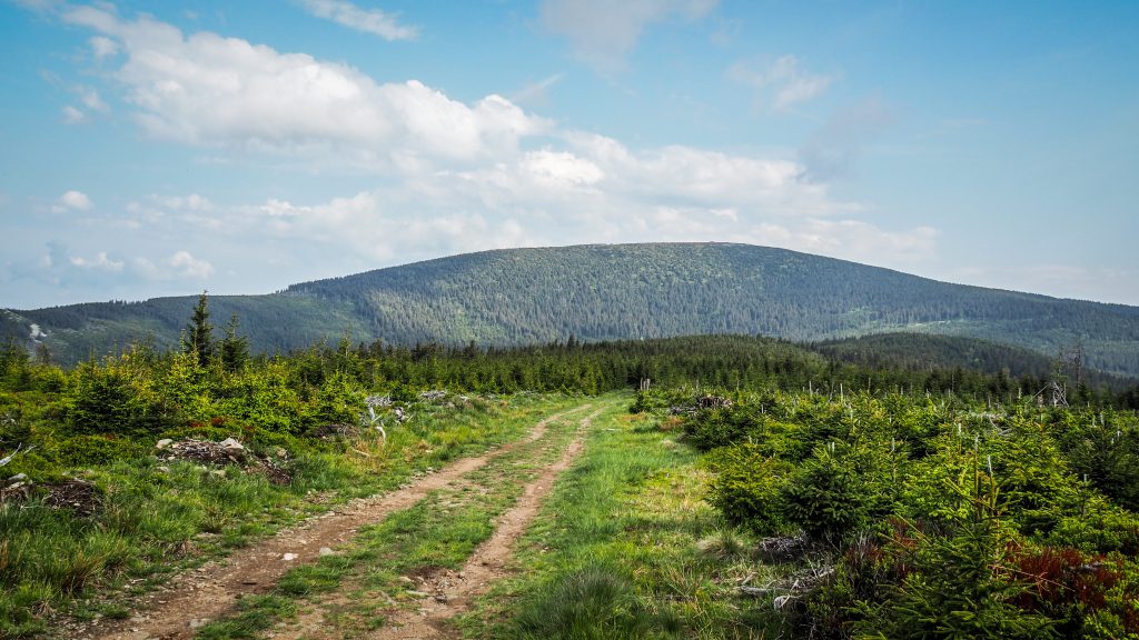
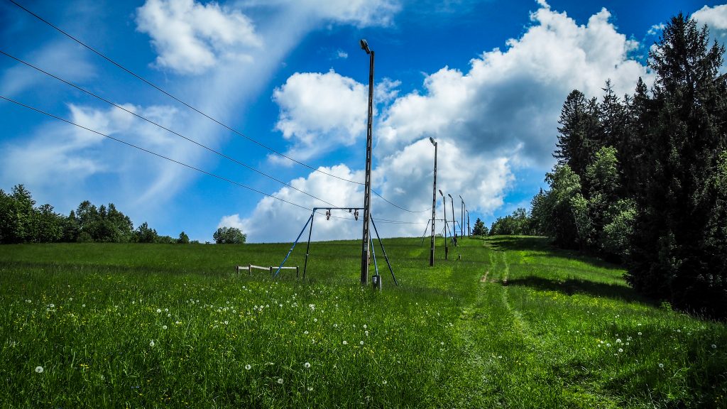
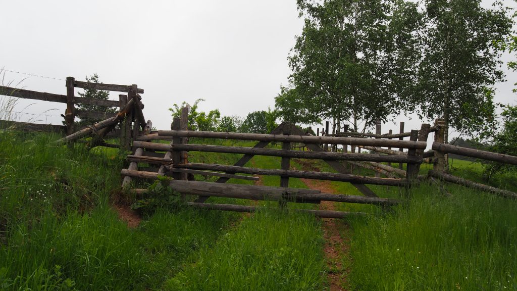
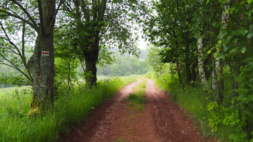
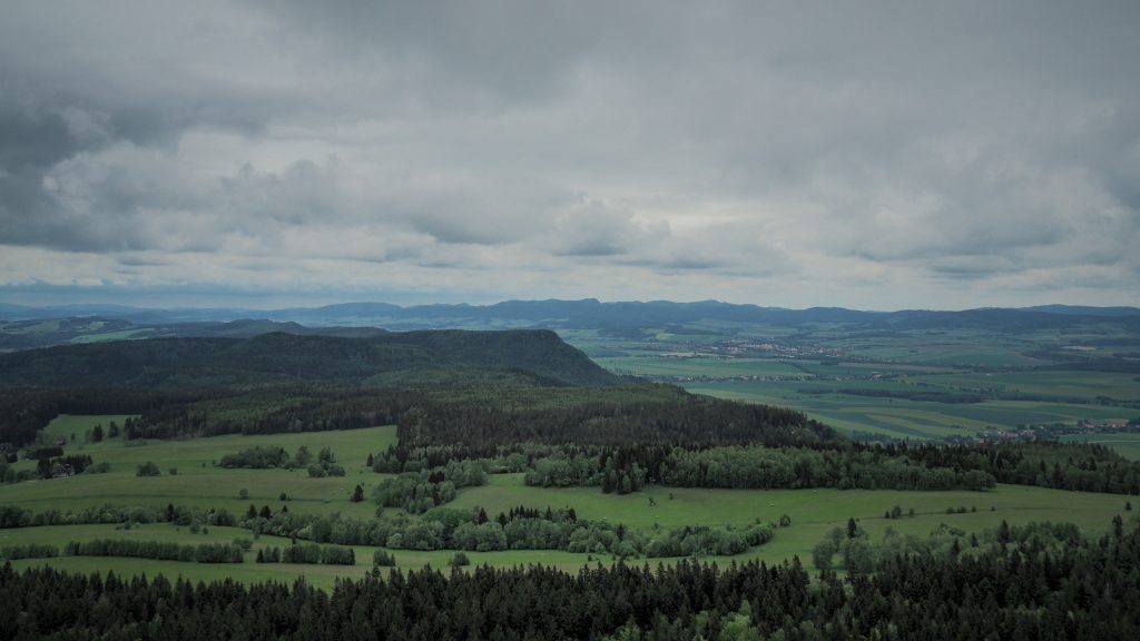
Next 7 kilometres through Podlesie to Jarnołtówek passed quickly due to easy and flat terrain. In the distance, I could already see the highest peak of Opawskie Mountains and the last mountain to tick off on the Main Sudetes Trail – Biskupia Kopa (890 m a.s.l.). It was also the last serious ascent, therefore I took a break for a second breakfast and to play with my drone.

Główny Szlak Sudecki
Landscape around Jarnołtówek
Biskupia Kopa seen from the distance

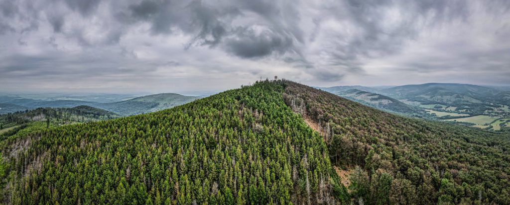
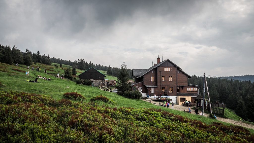
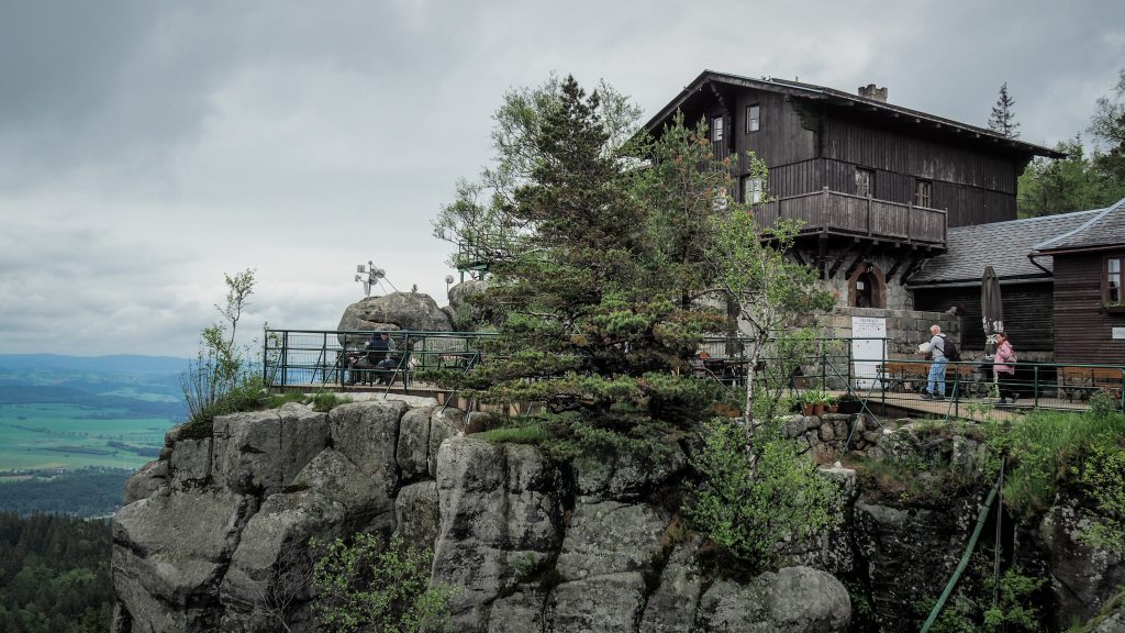
It’s about 4 kilometres from Jarnołtówek to the top of Biskupia Kopa with over 500m of elevation difference. That’s just enough to warm up for real! Unfortunately, I had to make another stop and put the rain cover on my backpack as the weather was getting worse. There is a mountain hut “Pod Biskupią Kopą” just 15-20 minutes from the summit, in case you are in a need of a hot drink or a meal.

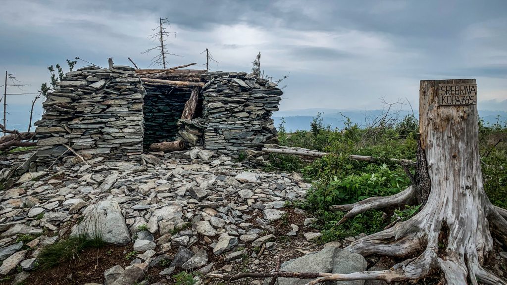
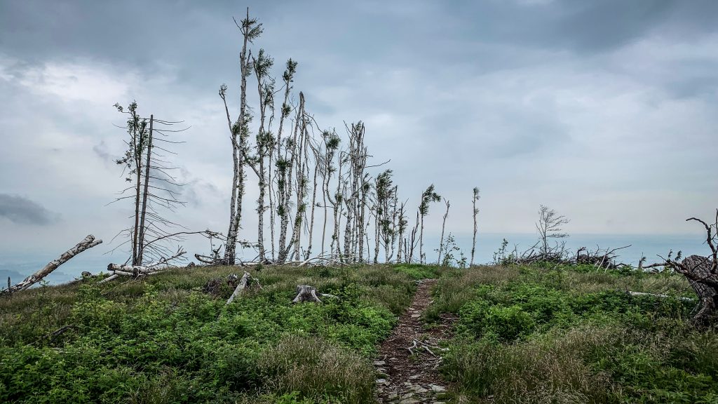
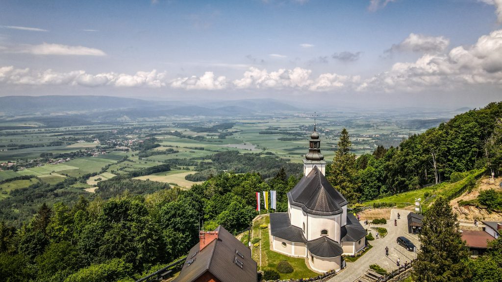
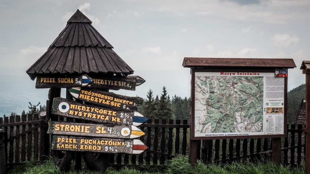
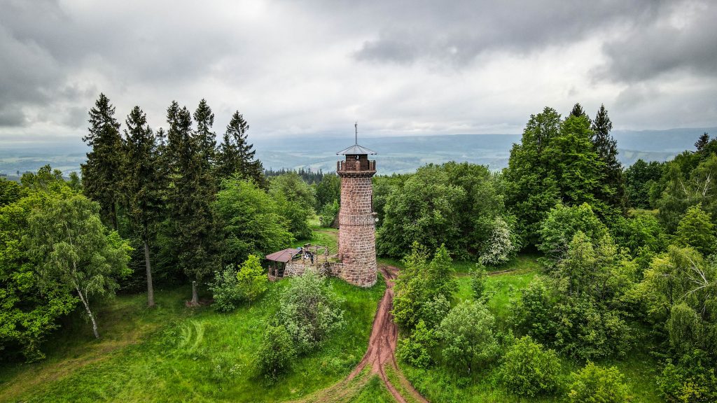
Once on top, I was on the border between two countries – Poland and the Czech Republic. Views are limited by the trees but there is an option to climb an observation tower that stands on the Czech side. I skipped it that time due to clouds rolling in and continued descent towards Srebrna Kopa instead.

Biskupia Kopa, Główny Szlak Sudecki
Aerial view on Biskupia Kopa
Główny Szlak Sudecki
On top of Srebrna Kopa

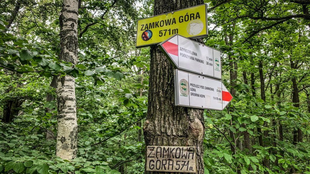
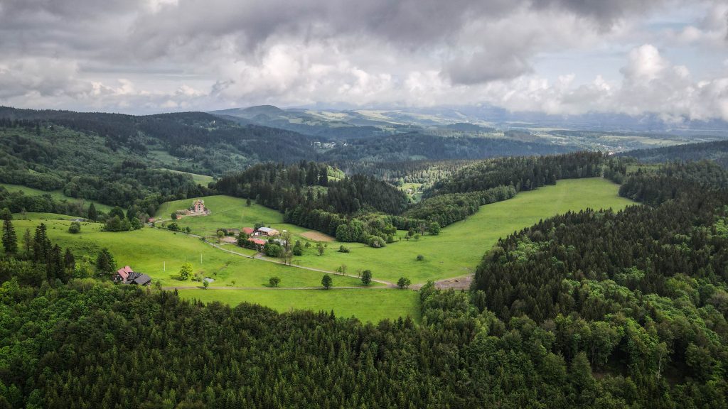
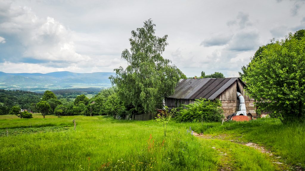
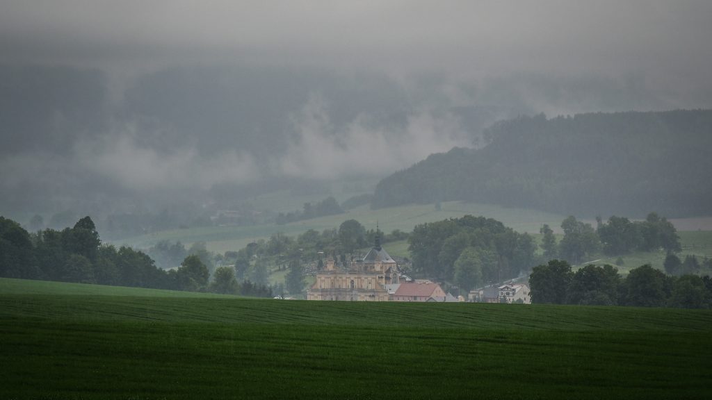
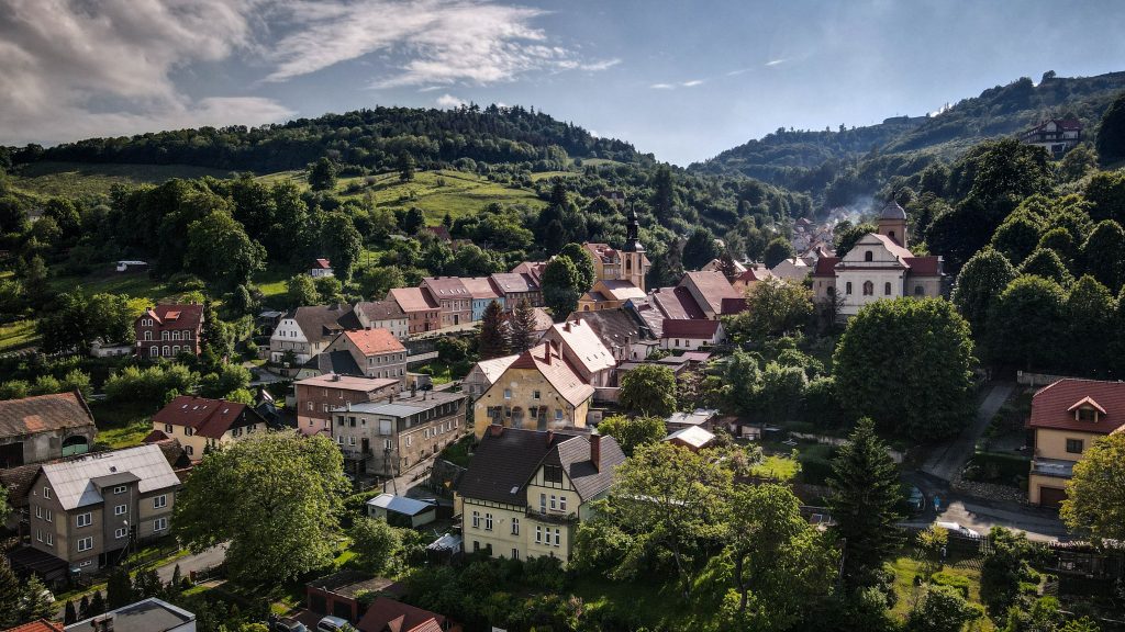
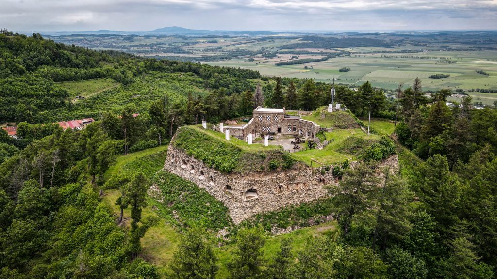
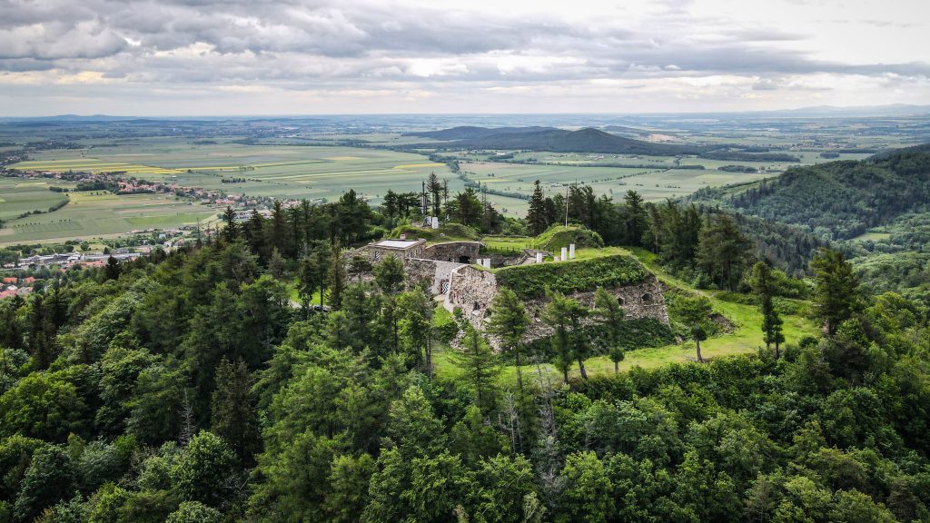
Soon, I reached Pass Under the Castle Mountain (Przełęcz pod Zamkową Górą) and then Castle Mountain (Zamkowa Góra – 571m a.s.l.) itself. Pokrzywna village, which is famous for its fishery, was only half an hour away.

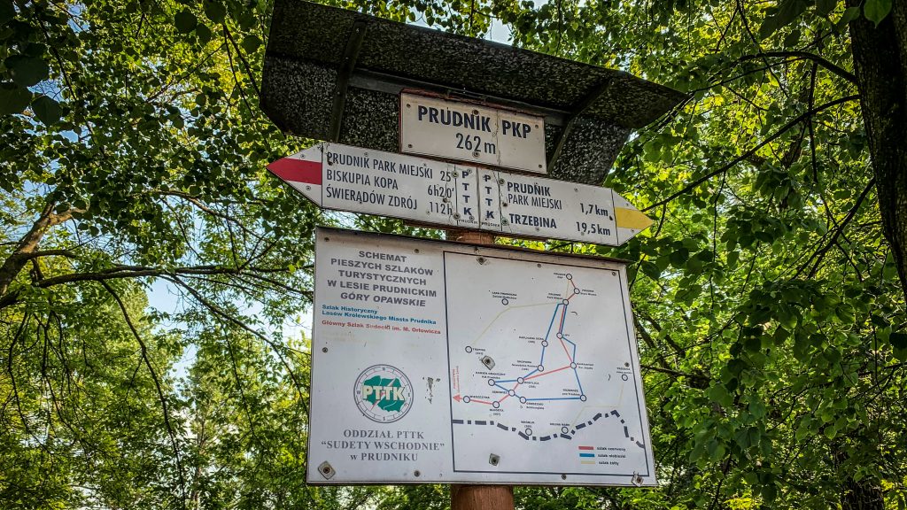
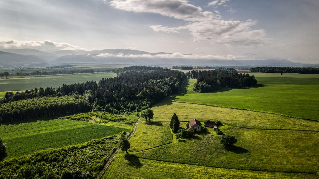
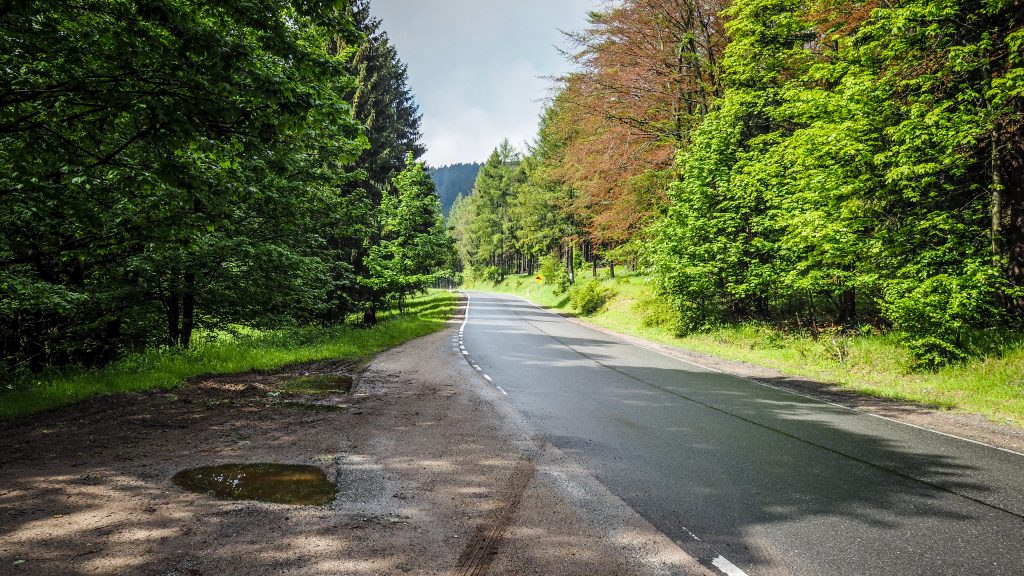
From there to Prudnik it was less than 15 km left. My plan was to catch the last train of the day heading to Wrocław and spend the night in a hostel there, before continuing back to Świeradów Zdrój to pick up my car. Ambitious plan and no time to waste!

The trail goes along Polish and Czech border
Główny Szlak Sudecki
Fallen trees around the trail
Główny Szlak Sudecki
Castle Mountain (Zamkowa Góra)
Spooky truck in the middle of nowhere

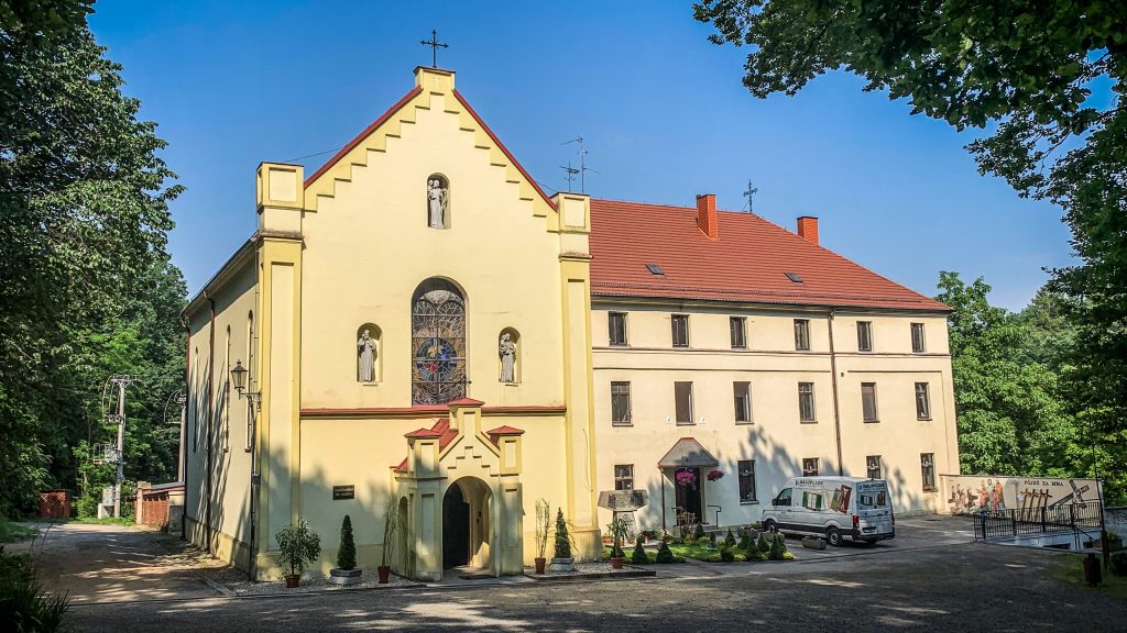
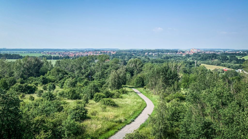
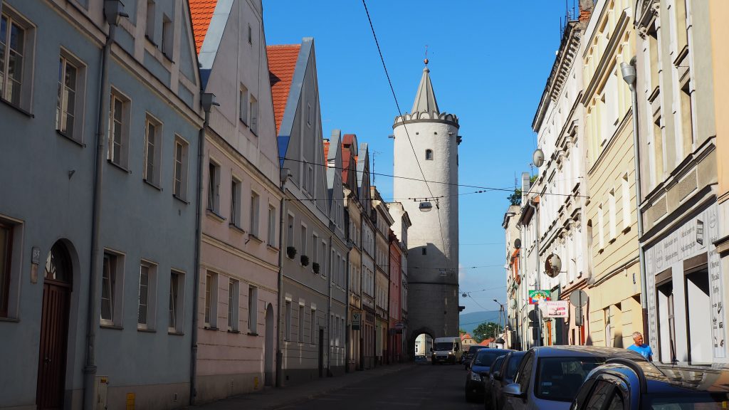
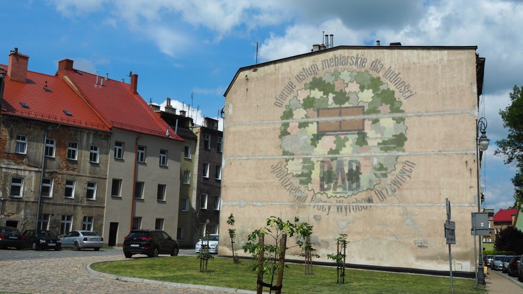
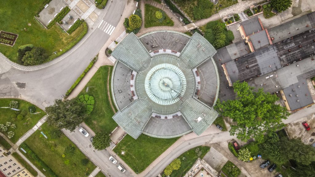
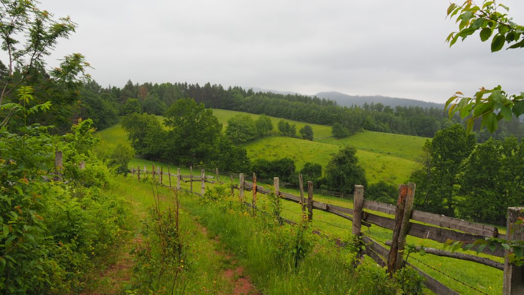
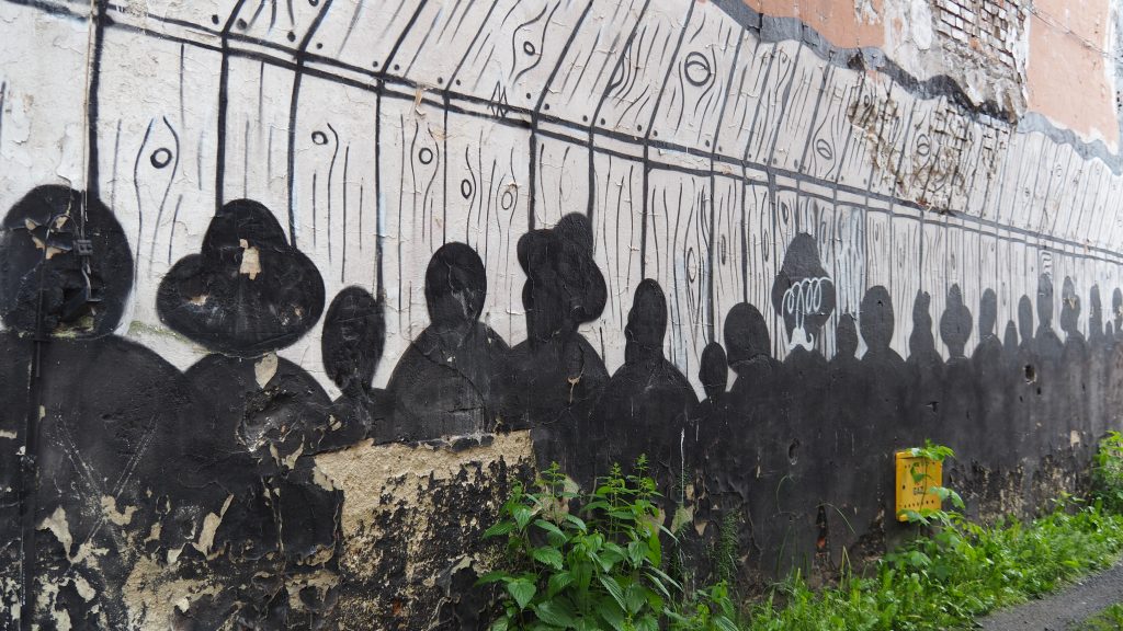
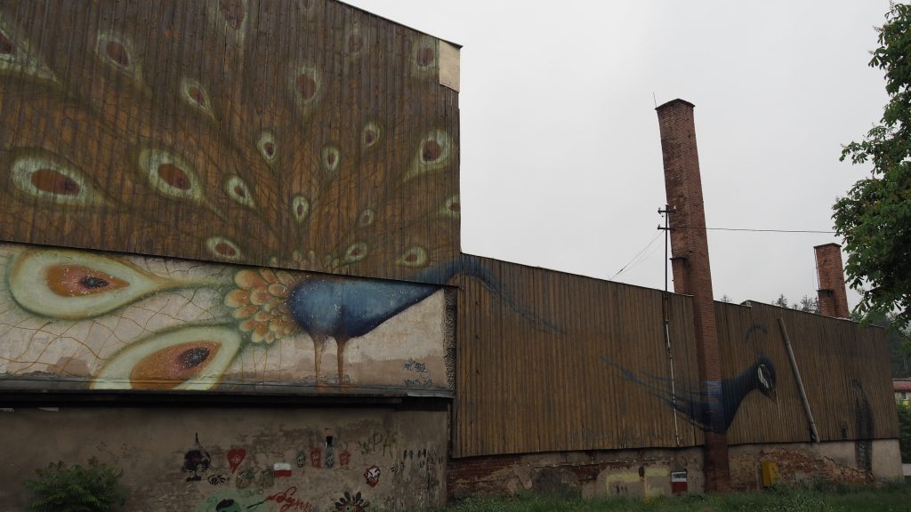
The trail continues through Wieszczyna and Dębowiec to Prudnicki Forest (Las Prudnicki) and a monastery where Cardinal Stefan Wyszyński was imprisoned, an important figure in Polish history. The Prudnik’s buildings are already visible on the horizon and I make the last stop to climb the observation tower on the Goat’s Mountain (Kozia Góra).

Monastery in Prudnicki Forest
View to Prudnik from the observation tower

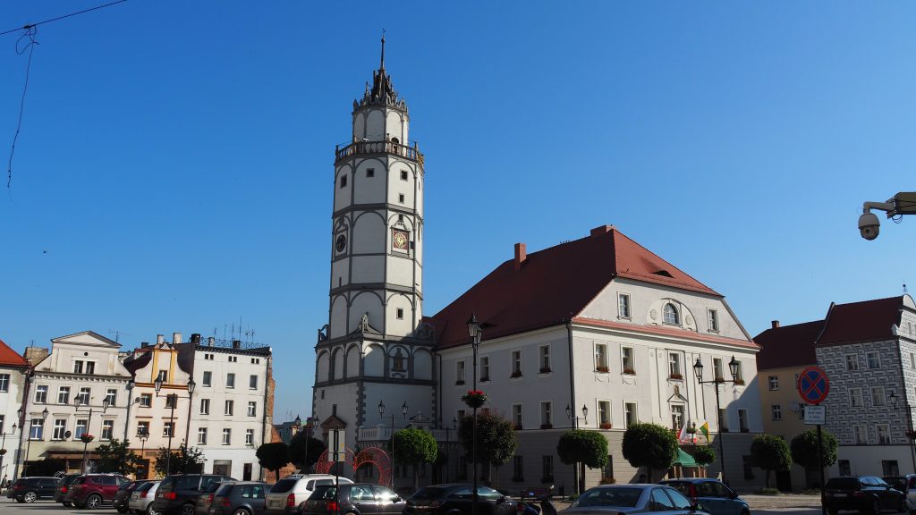
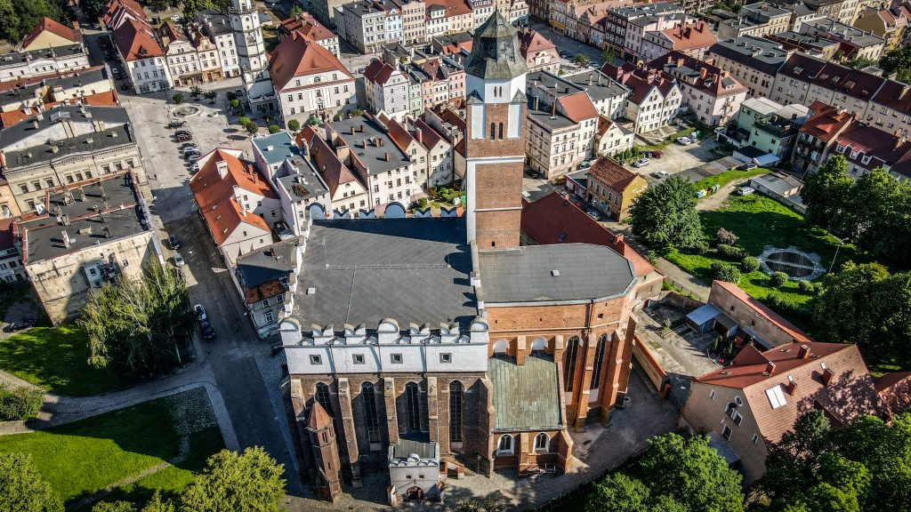
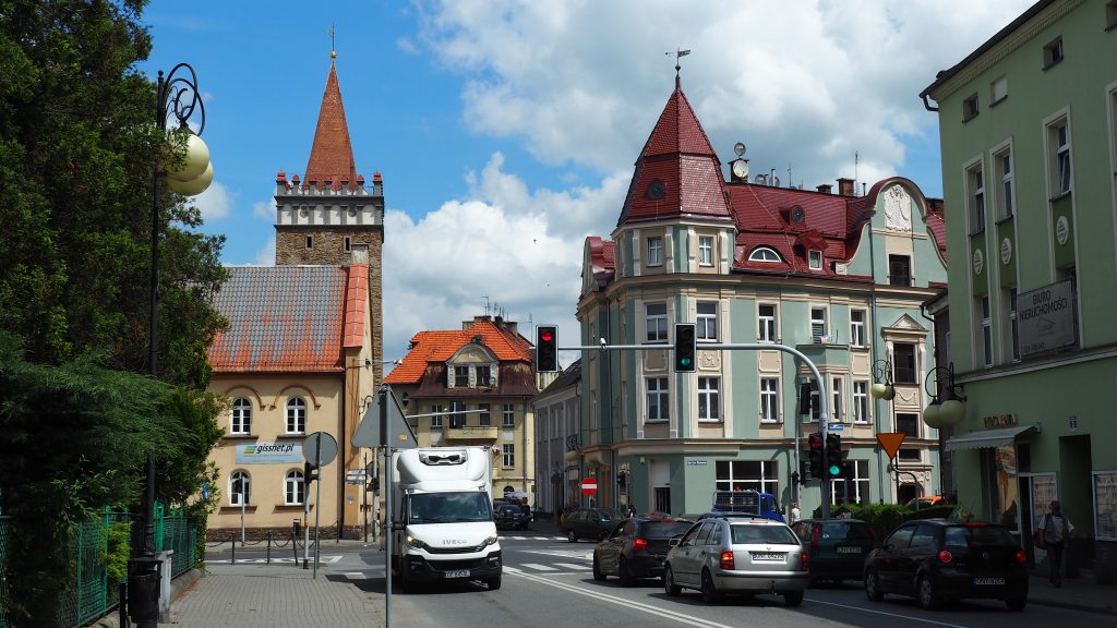
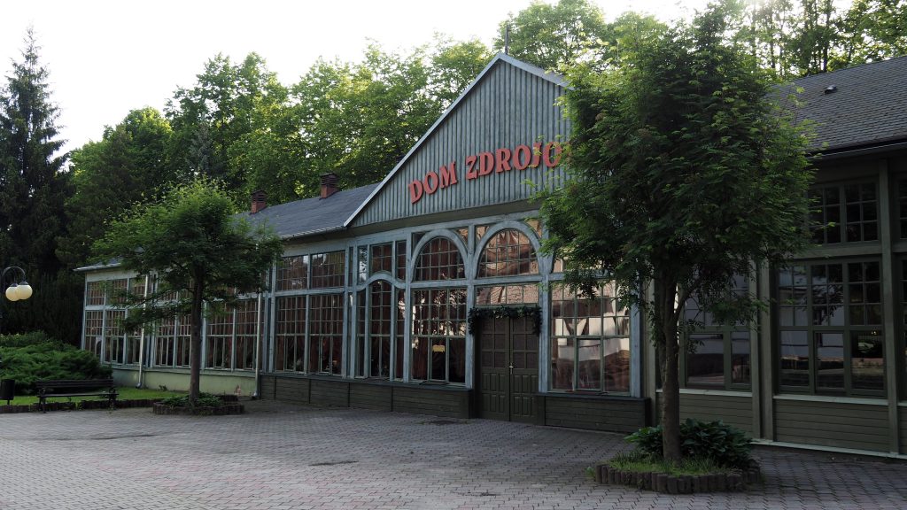
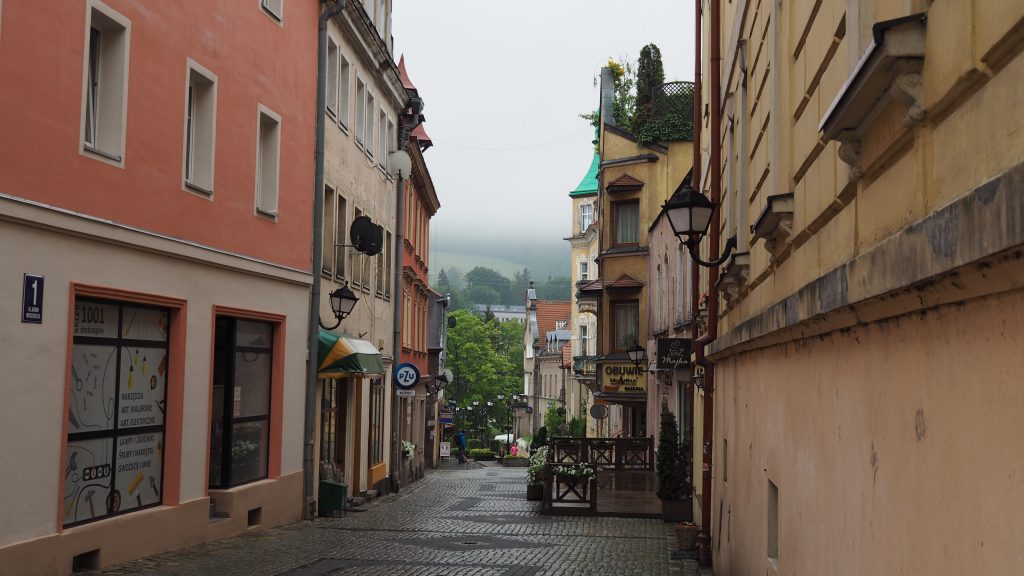
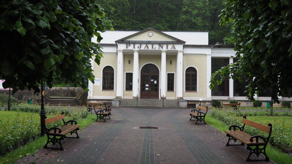
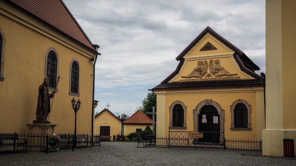
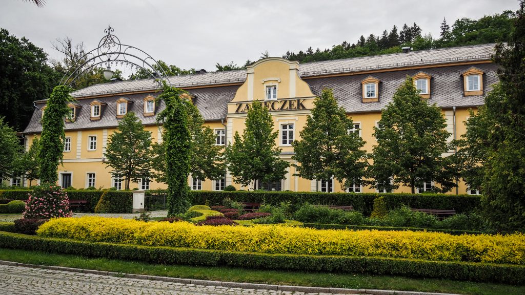
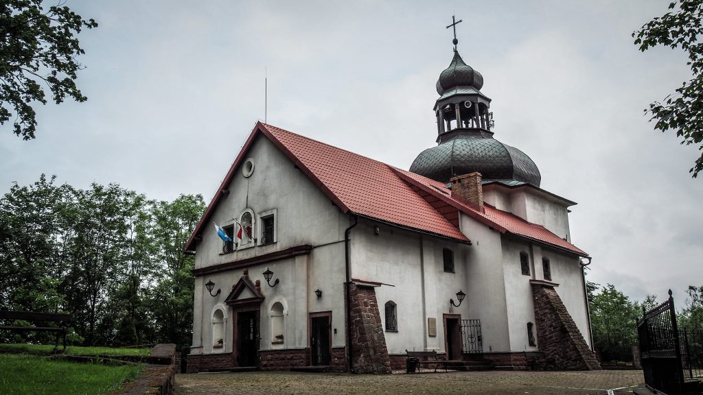
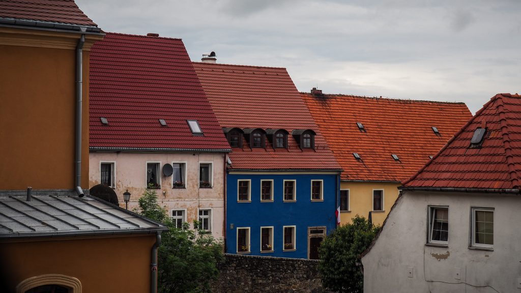
If you have some time in Prudnik, you may want to see the market square with a nice fountain, local museum and the church of St. Michael the Archangel.

I walked quickly through the streets of the city towards the train station, where there is also a plate marking the end (or beginning) of the Main Sudetes Trail. It shows 112 hours to Świeradów Zdrój from where I started. How long did it take me? No clue. I wasn’t that ambitious to count hours 🙂

I finished walking the trail that most probably I would never walk if there wasn’t lockdown due to COVID-19. Was it worth doing? In such circumstances, for sure yes. I was really happy, satisfied and proud of myself that when most of the people locked themselves at homes, I could go out and spend several days close to nature.

Prudnik PKP – the end of the Main Sudetes Trail

Would I do it again if the borders are open and I can travel elsewhere? Probably not.

When I finished Tour du Mont Blanc a few months later, I couldn’t resist the feeling that I could walk it once again, even tomorrow. Because it was absolutely amazing. The Main Sudetes Trail, on the other hand, is just kind of a one-time experience. But still – a nice experience!
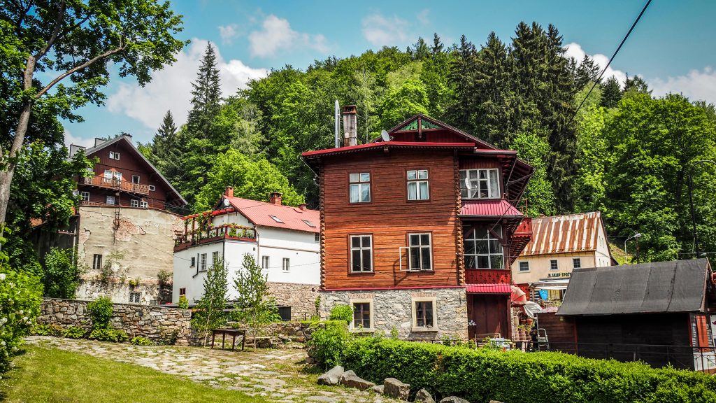
Stage 16 is complicated both logistically and physically. Between Paczków and Głuchołazy there are hardly any options for an overnight stay, not to mention long kilometres of walking on the asphalt roads.

Route planning

Total distance from Złoty Ztok to Głuchołazy is 58,5 km, which is clearly out of range for regular hikers. You may want to split it as follows:

Option 1: Złoty Stok – Paczków (13 km) and then Paczków – Głuchołazy (45,5 km)

Option 2: Złoty Stok – Piotrowice Nyskie (30.5 km) and then Piotrowice Nyskie – Głuchołazy (28 km)

.

Option 2 sounds more reasonable, though it involves overnight stay at Piotrowice Nyskie Palace, which isn’t particularly cheap. As it’s nearly the end of the hike, you can simply tell yourself that you deserve a little bit of a luxury 🙂

First kilometres towards Paczków

I hit the road in Złoty Stok following the main road passing through the town. Soon, on the right side, I noticed old lime kilns. If you want to learn more about their history, plan your first break here and have a look at the information board.

Finally the red track turn left leaving the main road and continues towards Błotnica and further to Kozielno and Paczków. Kozielno reservoir on your left is another nice place for a short break.

Zbiornik Kozielno, Główny Szlak Sudecki
Kozielno Reservoir

What to do in Paczków?

Paczków was founded in 1254 and shortly after defensive walls were erected. Remains of them can still be noticed today. Besides that, several other places are worth seeing: City Hall, Church of St. John the Evangelist, Gas Museum and city towers: Ząbkowicka, Wrocławska and Kłodzka.

City Hall

A beautiful building with the tower that retained its original renaissance character until today. It can be climbed and the panorama of the entire city fully rewards the effort.

Paczków, Główny Szlak Sudecki
City Hall in Paczków

Church of St. John the Evangelist

The temple is really huge and towers over the city so you can’t miss it. The construction began in 1350 and lasted about 30 years. The current shape of the building is the result of reconstructions in the Renaissance, Baroque and Neo-Gothic styles. An interesting fact is that in the 16th century, fearing the invasions of the Turks, the temple was rebuilt and fortified. A round stone well was set up in the southern aisle, the only one in Europe that was located inside the church.

Paczków, Główny Szlak Sudecki
Church of St. John the Evangelist in Paczków

Gas Museum

The gasworks in Paczków was built in the years 1898 – 1901 and shortly after started providing permanent gas supply. Over 90 years later, the place was turned into a museum, being the only facility in Poland where all the municipal gas production facilities have been preserved. You can see a huge collection of gas lamps, meters, cookers, heating stoves, irons but also more weird objects such as refrigerator or curling iron. Unfortunately, it was closed on the day of my visit in town due to COVID-19 pandemic, but it must be an interesting and unique place to visit.

City Gates: Ząbkowicka, Wrocławska, Nyska and Kłodzka

System of medieval town fortifications in Paczków is one of the best-preserved examples of its kind in Poland. Initially, three city gates led to the ring of defensive walls and in the 15th century, a fourth was built. Currently, Wrocławka Gate can be climbed for panoramic views and at the Nysa Gate, there is a wooden, roofed walking gallery with viewing platforms open to the public free of charge.

Paczków, Główny Szlak Sudecki
Kłodzka Gate in Paczków

The Main Sudetes Trail used to end in Paczków but a couple of years ago, it was extended to Prudnik. Therefore, I had to postpone celebration and continue my hiking adventure for a little bit longer. I turned left just after Nyska Gate and followed the main road all the way to the turn leading to Unikowice. Asphalt road passes through the village, goes further to Lisie Kąty and then to Ujeździec. It was only 8 kilometres from Paczków but the road seemed to be incredibly long and just boring with no mountains views at all.

Główny Szlak Sudecki
Small chapel with the indication of red track

There was still 10 kilometres between me and my bed for tonight. The boring path continued for 4 kilometres to Trzeboszowice. After passing it, the track turned right and took me to Ratnowice. Both are just another small villages en route without anything particularly interesting. For remaining distance, the landscape was quite monotonous. The only highlight was a young deer roaming the fields. Finally, I arrived at Piotrowice Nyskie and had the whole afternoon for relaxation after that difficult day. The distance was just fine, but walking on asphalt roads is usually much more tiring for the feet. Together with the monotonous landscape, it can be tiring for the mind too.

Główny Szlak Sudecki
The Main Sudetes Trail enters small village of Ratnowice

The following day started with 3 km to Kałków, unfortunately again on an asphalt road. I wondered if the trail would look like this until the end and if so, why was it extended. Luckily, after passing Łąka, it was finally the time to take a bit wilder path and cross the farmlands to reach Jarnołtów.

Główny Szlak Sudecki
Crossing the farmlands
Głuchołazy, Główny Szlak Sudecki
Storks are very common on a trail

Next targets were Sławniowice and Gierałcice, from where Polish-Czech border is a stone’s throw away. The track continues along on an asphalt road (yeah, again) until it finally separates and continues through the fields to Głuchołazy, passing Biała Głuchołaska river.

In Głuchołazy, I stayed in Guesthouse Iwona. Clean and spacious room with a nice yard in front of the house. There is not much to do in town but a short walk around the old market square and the Catholic Church of St. Lawrence is a good idea. And if you still have too much energy, wonderful Beech Forest Nature Reserve can be explored on foot.

Głuchołazy, Główny Szlak Sudecki
City centre of Głuchołazy
Głuchołazy, Główny Szlak Sudecki
In some places it seems like the time stopped

I was really happy to finally reach the town. Last two days were probably the worst ones during the entire hike. But I also had high hopes for the next day as I knew that mountains will be back for the last time. Biskupia Kopa (890m a.s.l.) is the highest peak in the Opawskie Mountains. So, the plan was easy. Climb it and then finish my adventure on the Main Sudetes Trail in Prudnik.

After the night near Stronie Village, I had to retreat my steps towards Biała Woda and join Main Sudetes Trail there. Luckily, the same as the day before, I managed to catch a ride quite quickly and save my legs from walking on a boring asphalt road.

The good news was that the distance to Lądek Zdrój (12 km) is rather easy and without significant elevation gains. A mostly downhill path through the forest is especially nice in hot weather and with sore muscles after getting to the top of Śnieżnik on the previous day.

I made a short break at Kąty Bystrzyckie. Next, the track goes gently uphill to the pass where you can see a small chapel. The legend says that it was built on the site of the death of 3 Swedish generals during the Thirty Years War.

The track follows the wide and comfortable road through the farmlands and forest until the first buildings of Lądek Zdrój pop up on the horizon. I could hear thunders becoming louder and louder, therefore I quickened my pace and shortly after arrived at the market square in the city centre.

The town is considered to be the oldest health resort in Poland, because according to historical sources, as early as 1241 there were bathing facilities here destroyed by Mongols returning from the battlefield near Legnica.

The area of old market square with the town hall, old tenement houses and restaurants is nice for a longer break and hot meal. Other than that, I recommend checking out the building of Wojciech Spa, Protestant church ruins as well as two picturesque bridges: the one of St. John of Nepomuk which is close to the old market square and the covered bridge which is more in the spa part of the city (still within walkable distance).

Wojciech Spa – a historic building from the 17th century, rebuilt two hundred years later. It houses a marble swimming pool designed in the style of a Turkish bath, stylish stone bathtubs for pearl baths and a pump room for waters from local springs.

Lądek Zdrój, Dolny Śląsk
Historic building of Wojciech Spa
Lądek Zdrój, Dolny Śląsk
Wojciech Spa seen from the sky

Bridge of St. John of Nepomuk – It was erected in 1565. The author of the sculpture took inspiration from the figure of the patron saint of Bohemia on the Charles Bridge in Prague.

Lądek Zdrój, Dolny Śląsk
Bridge of St. John of Nepomuk

Covered Bridge – one of the most original and beautiful monuments in Lądek. It was built in the 1930s in order to connect two spa facilities.

Lądek Zdrój, Dolny Śląsk
Covered bridge in Lądek Zdrój

Protestant church ruins – built in 1846, the temple was destroyed in the fire in 1999.

Lądek Zdrój, Dolny Śląsk
Ruins of Protestant church

The second part of the day from Lądek Zdrój to Złoty Stok is longer (16 km) and much more difficult due to elevation differences, especially ascent to the Great Jawornik (Jawornik Wielki, 872 m n.p.m.).

I left Lądek Zdrój crossing the bridge over Biała Lądecka and followed the red track towards Pass Under the Konik (Przełęcz Pod Konikiem) and further to Orłowiec village. There, it was time to take a turn from the main road and start tiring ascent to Jaworowa Pass (Przełęcz Jaworowa).

It’s over 3 kilometres to the top of the Great Jawornik. The views are limited because of the trees but there is a viewing platform within 150 metres of a detour from red track. Unfortunately, clouds were hanging very low and I could see absolutely nothing anyway.

There are 6 more kilometres to Złoty Stok but all the way downhill so it didn’t take long to reach historic villa Złoty Jar and shortly after I saw first tourists hanging around in rope park and gold mine museum. Sightseeing was on my list too but first I wanted to drop my heavy backpack at Gold Stok Hotel. The room was simple but comfortable. Moreover, a bed and a private bathroom was everything I needed at that time.

It was getting late and there is quite a lot to see in Złoty Stok, therefore I simply went out for the walk and dinner, leaving tourist attractions for the morning of the next day.

This medieval mining settlement was established in connection with the mining of gold (traces from as early as the 10th century were discovered). Złoty Stok is the oldest mining and metallurgical centre in Poland. The last mine (arsenic ores) was closed in 1961. Today, it’s a popular tourist destination with all attractions being related to its past.

Gold Mine Museum – A specially prepared tourist route with a museum exhibition covering two adits. The first one is called “Gertrude” (500 m) and presents a unique collection of geological maps, ancient mining instruments and rich collection of rocks, ores and minerals from around the world.

The second one, called “Czarna” (700 m), is located in the upper part. This adit leads visitors through the 16th-century, hand-forged workings. You can learn about mining techniques used over the centuries and admire the only underground waterfall in Poland. The tour ends with an underground tram ride in the direction of a daylight 🙂

Złoty Stok, Dolny Śląsk
Entrance to Gertrude adit
Złoty Stok, Dolny Śląsk
The only underground waterfall in Poland

Medieval Technology Park – A replica of a medieval settlement with a lot of real size devices. All of them still work and knowledgable guide presents their usage and let tourists try them themselves. 1-hour tour is concluded with the visit in Executioner Hut. He played an important role in punishing criminals and thieves.

Ochre Adit – It was opened in 2017 and the underground part includes 130 meters of the pavement that is opened for visitors. Sightseeing possible only with a guide.

Combined ticket for all three attractions costs 59 PLN per adult and you should count at least 3.5 hours for sightseeing.

The track leaves Długopole Zdrój climbing above railway tracks into the forest. Going at its edge, I could see a nice panorama with farmlands and mountains on the horizon. Shortly after, I left the forest and entered meadows. It seems that whoever planned Main Sudetes Trail, didn’t bother to mark in anyhow in case there were no trees to pain on. Therefore, it was a good couple of kilometres with barely any signs. Luckily, having access to free maps on mapa-turystyczna.pl on the phone, I was able to track my position very precisely and avoid getting lost. I suggest you to do the same!

Główny Szlak Sudecki
Farmlands seen from a drone
Główny Szlak Sudecki
Wide path leading through farmlands
Główny Szlak Sudecki
Scenic farmlands
Główny Szlak Sudecki
it’s worth looking at your feet
Główny Szlak Sudecki
Which way to go?
Główny Szlak Sudecki
From Wilkanów, the track heads towards mountains

After reaching and crossing road 33, I continued towards Wilkanów where I had my first rest break (around 7 km from the starting point). I knew that the next 6 km will be mostly uphill, so it was a good time to refill calories. First half was rather gentle but the second one leading to Sanctuary of Holy Mary slightly more challenging.

I had a quick look at the church and mountain hut nearby. Views all around the place were super nice! Next, I made a detour to the top of Igliczna (845 m a.s.l.) and came back the same way to rejoin the red track.

Igliczna, Główny Szlak Sudecki
Wonderful landscape around Igliczna
Igliczna, Główny Szlak Sudecki
Igliczna seen from a drone
Igliczna, Główny Szlak Sudecki
Sanctuary of Holy Mary

It was nice and quick downhill 3 kilometres bringing me to the second-highest waterfall in the entire Sudetes. Wilczki Falls was created on the line of a tectonic fault, where the Wilczka River falls from a height of 22 meters to the cauldron and continues along a narrow gorge known as the American canyon.

Wodospad Wilczki, Główny Szlak Sudecki
Wilczki Falls in Międzygórze

From there, the red track goes into Międzygórze. In 1840 the town and the vicinity of the Śnieżnik Massif were purchased by Princess Marianna Orańska, wife of the Prussian prince Albrecht Hohenzollern. She initiated the development project, transforming it into a popular summer resort. Walking through the town I could still admire unique 19th century Norwegian and Tyrolean guesthouse buildings.

Międzygórze, Główny Szlak Sudecki
Architecture of Międzygórze which was once a very popular resort

There is another 5-6 km to PTTK Hut on Śnieżnik (1218 m a.s.l.). Its nickname “Swiss” comes from both the style in which the facility was built and the Swiss administrator. Being a very popular destination for day walkers, the path leading to it through the forest is wide and easy to follow. This section is the most challenging part of the day with the highest elevation gain. Pay attention to the nice viewpoint called Goat Rocks (Kozie Skały) on the slope of Średniak.

Śnieżnik, Główny Szlak Sudecki
PTTK Hut on Śnieżnik
Śnieżnik, Główny Szlak Sudecki
Several tracks meet around PTTK Hut on Śnieżnik

The red track doesn’t go to the summit of Śnieżnik but come on – it’s only half an hour away. The decision couldn’t be different and even though I hesitated for a while due to louder and lauder thunders, shortly after I enjoyed spectacular views from the top.

Śnieżnik (1425 m a.s.l.) is the highest peak in the Eastern part of Polish Sudetes. Due to the significant height difference between Śnieżnik and the surrounding peaks, it can be clearly seen from the distance.

Śnieżnik, Główny Szlak Sudecki
Green track to the top of Śnieżnik
Śnieżnik, Główny Szlak Sudecki
Panorama from the peak

I descended the same way and rejoined the red track leading down Śnieżnicka Pass (Przełęcz Śnieżnicka) and further to Snake Glade (Żmijowa Polana) from where there is the last short ascent of the day to Black Mountain (Czarna Góra). Don’t forget to turn around from time to time to have a glimpse at Śnieżnik.

Śnieżnik, Główny Szlak Sudecki
Don’t forget to look behind your back
Śnieżnik, Główny Szlak Sudecki
Views from the ascent to Black Mountain

At the top, there is an observation tower but unfortunately closed for tourists. Remaining distance (2 km) to Puchaczówka Pass is quite a steep downhill walk. Best for you would be to find accommodation somewhere in Sienna village. I wasn’t so lucky and had to spend the night a bit further in Villa Diana near Stronie village. Luckily I managed to hitchhike and save my legs from walking on asphalt road. The villa was very nice, with a beautiful garden and breakfast included. It was also the most expensive accommodation during the entire hike, but well. I felt I deserved it 🙂

If you read the previous post, you know that my plans for stage 12 had to be adjusted due to the rain and I decided to stay overnight in Duszniki Zdrój. It didn’t seem to be a problem at first, but I totally forgot that on the next day the long weekend starts and it could be more difficult to book accommodation on the way, especially mountains huts. And this was exactly where I wanted to stay 🙂 When I called PTTK Jagodna Hut in the morning asking for bed, they only started to laugh as everything was booked out weeks before. Sleeping on the floor was also not an option due to COVID-19 restrictions.

Route: Duszniki Zdrój to Długopole Zdrój
Distance: ~ 39 km

At that point, it was clear that I have to hike all the way to Długopole Zdrój. I made a few phone calls trying to book a room and in the end, find one free at Aleksander Resort. Way overpriced, same as all the other places on that weekend. Seems like Polish people were so sick of spending time at home due to COVID-19 that once restrictions were loosened and bank holiday came, everyone set off for short city break.

Starting at Duszniki Zdrój market square, I passed the spa part of town and started the ascent towards Zieleniec, which is located 11 kilometres from the start point. The path goes very gently until Podgórze and from there it’s a bit more challenging but nothing extraordinary.

Duszniki Zdrój, Główny Szlak Sudecki
Panorama of Duszniki Zdrój
Duszniki Zdrój, Główny Szlak Sudecki
Hills surrounding Duszniki Zdrój

I heard the noise of cars coming from the top of the hill and unfortunately, shortly after I saw an asphalt road. It’s the Sudetes Highway. The only thing that road has in common with real highways is the name. Luckily, it’s an advantage for hikers as the red track follows it all the way to Zieleniec. Traffic is minimal so just keep to the left edge of the road and it should be fine.

Główny Szlak Sudecki
Track joining the Sudetes Highway
Zieleniec, Główny Szlak Sudecki
PTTK Orlica Hut

With all that ski lifts around, Zieleniec must be a busy place in winter. Without snow though, it was a rather dead place and I only made a short stop at PTTK Orlica Hut to have a drink and snack.

The tracks descents 4 kilometres towards Nature Reserve Pod Zieleńcem. It’s the area with peat bogs, not very visible from the main trail but you could easily make a short detour and get closer following one of the local paths.

Torfowisko pod Zieleńcem, Główny Szlak Sudecki
Nature Reserve pod Zieleńem
Torfowisko pod Zieleńcem, Główny Szlak Sudecki
Peat bogs seen from a drone

From here to Spalona and PTTK Jagodna Hut is around 15 kilometres without any significant elevation differences. I passed the village of Lasówka with a picturesque church. Great place for short picnic lunch. After that was a bit monotonous section through the forest until I popped out close to the ski lift at Spalona. Following it all the way to the top of the hill, I reached extremely busy at that time PTTK Jagodna Hut. Long weekend, lunchtime, mountain hut accessible by cars. All of these means one thing – crowds.

Główny Szlak Sudecki
Muddy forest trail
Główny Szlak Sudecki
Ski lift around PTTK Jagodna Hut

If you have time or you stay for the night in the hut, there is an easy trail blue going to the highest peak of Bystrzyckie Mountains – Jagodna (977 m n.p.m.). It’s around 4 kilometres, taking 1 hour one way. The views are particularly nice from the newly build viewing tower.

Main Sudetes Trail (red) continues from PTTK Jagodna Hut on the Sudetes Highway for 4 kilometres when it turns left and descents to Ponikwa. Be careful not to miss the sign. Before Ponikwa, it passes through the grasslands with the walking track being barely visible. The easiest is to just follow the grass crushed by other walkers and head in the direction of the buildings.

Główny Szlak Sudecki
Red track continues on The Sudetes Highway until it turns left…
Główny Szlak Sudecki
…and goes through the meadows…
Główny Szlak Sudecki
…all the way to Ponikwa

Shortly after leaving Ponikwa, the trail turns left and continues on the gravel road to my final destination. Luckily, that time I left the forest just in front of my hotel, so no more extra kilometres. It was a long day and sightseeing had to wait for the next day in the morning.

Długopole Zdrój is the smallest and probably least popular spa town along Main Sudetes Trail. The water flowing out of the excavation area of the old mine was taken for tests and proved to be healthy enough. The spa town was established in 1802 as Bad Langenau and therapeutic baths started shortly after. It’s worth to have a look at the pump house and try mineral waters. Other than that, there is nothing else to do.

Główny Szlak Sudecki
Panorama of Ponikwa and Długopole Zdrój
Długopole Zdrój
Pump house with mineral waters in Długopole Zdrój

The plan for that stage was more ambitious at first, but weather conditions verified it quickly. Hitting the road in Kudowa Zdrój, I turned into Słoneczna Street passing Ecocentre of Table Mountains National Park, crossing the road leading to Dańczów and in the end, arriving at Lewińska Pass (535 m a.s.l.) about 6 kilometres from starting point.

Route: Kudowa Zdrój to Duszniki Zdrój
Distance: ~ 15 km

The views until now were quite nice, despite gloomy and foggy atmosphere. The track took me through the fields and in one place there was even the gate for cattle with little wooden steps allowing hikers to pass. Something similar to what I experienced before in the Alps or New Zealand.

Główny Szlak Sudecki
Countryside views after leaving Kudowa Zdrój
Główny Szlak Sudecki
Following the road in the middle of grasslands
Główny Szlak Sudecki
Gate and wooden stairs on the left side

It’s another 3 kilometres of the gentle uphill walk towards Grodziec (803 m a.s.l.). Here I need to stop to wear rainjacket and put a rain cover on my backpack as what was initially a small shower, turned into heavy rain. There is not too much joy in such a walk and for the first time came through my mind the idea of shortening the walk for today and staying for the night in Duszniki Zdrój.

After 2 kilometres of descent from Grodziec, I arrived at the crossroad with the blue trail leading towards the ruins of Homole Castle from XIII-XIV century. As it’s only 10-15 minutes detour, I decided to check it out. The route was an easy one. First wooden boardwalk and then steps leading to the top of the castle hill. I was really happy to see the bench there as I could take off my backpack, make a sandwich and enjoy the moment without rain. I was the only person there and the fog made the atmosphere very unique.

When it comes to the ruins, there is not much left to explore and I simply walked around something that used to be the tower.

At the top of castle hill
Główny Szlak Sudecki
Ruins of Homole Castle – not much left

All the remaining way to Duszniki Zdrój is on a slightly downhill route, the only difficulty being mud. After around 4 kilometres, I was already in the office of tourist information, asking for their recommendation of an overnight stay. My preference was PTTK Hut Under the Muflon, however, they were fully booked. In COVID-19 times it’s better to always call and ask in advance for availability. I ended up in Agrotourism at Baltazar which happened to be quite far from the centre.

Główny Szlak Sudecki
The track leading towards Duszniki Zdrój

It was only around noon, so having the rest of the day free, I decided to visit the Museum of Papermaking. The ticket costs 22 PLN and it’s an interesting place to kill an hour or two. Their permanent exhibition is about the history of paper and the way it is made in the world as well as more specifically in the Silesia region of Poland. The interesting part is that you can observe the whole process live and even take part in the workshops.

Duszniki Zdrój
Museum of Papermaking in Duszniki Zdrój

Other than that, Duszniki Zdrój is another spa town en route Main Sudetes Trail and according to me, one of the most charming ones. Spa treatments began in 1751 and in 1822 pump room with mineral waters was built. During next years, development continued and many famous people visited the town, such as Frederic Chopin, who gave two charity concerts in 1826 and Felix Mendelssohn-Bartholdy, German composer. Frederic Chopin Theatre, established in the place where Chopin gave his concerts, as well as market square are worth to have a look too.

Murals nearby market square in Duszniki Zdrój
Murals nearby market square
Murals nearby market square in Duszniki Zdrój
Murals nearby market square
Duszniki Zdrój
One of the streets in the centre of Duszniki Zdrój
Duszniki Zdrój
Pump room with mineral waters

That was it for that day. I walked all the way back to the accommodation where I stayed for the remaining part of day, simply resting and eating tons of fruits that I bought in local supermarket!

Wambierzyce town is located at around 204th kilometre of the Main Sudetes Trail and Kudowa Zdrój at 232nd. It means that somewhere between these two, I should celebrate half-way of my adventure! I was looking forward to that day also because of another reason. The track leads through the scenic Table Mountains and from what I saw online, I had all the reasons to believe that it’s gonna be awesome!

Route: Wambierzyce to Kudowa Zdrój
Distance: ~28-30km

The beginning of the day was quite miserable due to boring terrain, asphalt roads and light rain. It started to look better after 4th kilometre when I passed Studzienno and entered the Table Mountains National Park. The path was going up towards Rogacz (707 m a.s.l.). More and more weird rock formations looked at me from behind the trees. Exactly what I had been waiting for!

The terrain here is totally unbelievable and it looked even more unbelievable in cloudy and a bit foggy weather conditions. The shapes of some rocks resemble huge mushrooms, hence its name – Mushroom Rocks (Skalne Grzyby). They owe it to erosion progress of sandstone, which is way faster in the lower parts of the rocks. I admit I spent a lot of time photographing everything but it’s always a learning process to become a better photographer. Honestly, it doesn’t matter how much time I take for my shots, I am never fully satisfied with the end result. Maybe it’s lack of talent or maybe endless pursuit for perfection.

Anyway, from Rogacz it’s around 5,5 kilometres to the parking lot at Stormy Meadow (Burzowa Łąka). As always, parking lots mean that there could be more people around and the rule proved to be right also that time. I mean more people for the Main Sudetes Trail standards because usually, it was rather no people at all. Even here it wasn’t as busy as one could expect. Tourism in COVID-19 times hasn’t come back to shape yet.

Park Narodowy Gór Stołowych
Crossing the road near Stormy Meadow parking lot

The track continues of the mostly flat path called The Road Over The Cliff for further 5 kilometres. At some point, there is a small path going right (5 minutes detour). Walk it till the end and you will understand the meaning of that name. Then, the next major landmark is the Great Szczeliniec (Szczeliniec Wielki, 919m a.s.l.).

Szczeliniec Wielki w Górach Stołowych
Track leading to Szczeliniec Wielki
Szczeliniec Wielki w Górach Stołowych
Path and stony stairs enroute to Szczeliniec Wielki
Szczeliniec Wielki w Górach Stołowych
The view from the top of Szczeliniec Wielki
Szczeliniec Wielki w Górach Stołowych
Mountain hut at Szczeliniec Wielki

Even though the red track doesn’t lead to the top, it’s hard to resist a detour. It’s a tiring way up on the stony stairs but the place was definitely one of the biggest highlights of the day and should not be missed. There is a mountain hut at the top, in case you are in need of a hot meal or drink. The way down is even better and I recommend taking the paid alternative. It’s only 12 PLN and hiking through the amazing maze of rocks takes about 1 hour. The formations are incredible! Some parts may be very narrow and tricky with a big backpack, but it’s doable.

After the descent, I reached Karłów which is a midpoint of GSS. I felt big satisfaction of what I achieved so far and maybe it made me lose concentration and as a result, I took a wrong turn following red track but for ski runners, not hikers. Honestly, I find it very misleading to use the same colours and it took me a long time to realize that something is wrong. The signage could definitely be improved. Mapa-turystyczna.pl helped me to find my way but the whole situation cost me at least 1 hour and a few useless kilometres in my legs. Just pay attention here and don’t turn right too early. The track follows an asphalt road leading to the Errant Rocks (Błędne Skały) which is around 5 kilometres from Karłów. I had to speed up as the place was closing at 5 pm. The advantage of late arrival (4:10 pm) was that there were only a few other tourists.

The whole attraction is very similar to the Great Szczeliniec and doesn’t make such a big impression if you have already visited the other one. Crossing with the backpack was really difficult and I had to take it off in many places, struggling to push it through. I suggest to leave the luggage at the ticket office and simply come back to collect it afterwards. By doing that, your walkthrough should be much more enjoyable.

Błędne Skały, Góry Stołowe
Unique rock formations in the Errant Rocks
Błędne Skały, Góry Stołowe
Wooden walking platform at the Errant Rocks
Passing through the Errant Rocks with backpack isn’t easy

Last part of the day was made by a long (~7km) descent to Kudowa Zdrój. I was really, really tired and still had to walk to the other side of the town as I didn’t pay too much attention to the localization of my guesthouse when booking it. Don’t get me wrong, the localization was awesome, but at that moment every 100 meters mattered. In the end, the day was finished with 38 kilometres on my Endomondo training.

I can fully recommend Guest Rooms Under Lions (Pokoje Gościnne pod Lwami). Super friendly owner and very close to the main attractions of the towns in case you want to do some sightseeing. And obviously, you should do that!

What to see in Kudowa Zdrój?

The history of the spa town dates back to the beginning of the 17th century when information about the positive effects on the health of the mineral waters from Kudowa springs appeared for the first time. Only a hundred years later, bottles filled with them were regularly sent to the royal court in Berlin.

Skull Chapel

In the small building located in Czermna (one of the districts of Kudowa Zdrój) there are about 23 thousands of human skulls all over the walls and ceiling. Father Tomaszek, collected human remains that remained in the surrounding fields after the Thirty Years ‘War in 1618-1648, the Seven Years’ War (1756-1763) and the great plague of 1680. As no one was able to provide the deceased with a proper burial, and the dogs were digging up bones from the ground, the priest decided to take care of them by moving to the chapel and crypt. It is believed that he got the idea during his trip to Rome, after visiting the local catacombs.

Kudowa Zdrój
Skull Chapel in Kudowa Zdrój

Spa Park

It was established in the 18th century on the model of English parks and significantly expanded in the 19th century. Nice place to walk around! There is a small lake, fountains as well as a forested hill for those looking for a more challenging stroll. Mineral waters are available in drinking room.

Kudowa Zdrój
Spa Park in Kudowa Zdrój
Kudowa Zdrój
Spa Park in Kudowa Zdrój
Kudowa Zdrój
Spa Park in Kudowa Zdrój

Trail of Vanishing Trades

A time spend here is like a journey back to the past, to learn about the jobs our ancestors did, such as blacksmithing, baking bread, pottery or knitting. There is also a mini ZOO which should entertain the children for a while. Overall it’s a pretty small open-air museum, so unless you have the time to kill or you are really interested in the topic, give it a miss.

Kudowa Zdrój
Following the Trail of Vanishing Trails
Kudowa Zdrój
Small kind of a ZOO also here
Sleepy animals enjoying the day
Kudowa Zdrój
Windmill at the Trail of Vanishing Trails

Other less impressive sights in town include: Museum of Minerals, Museum of Toys or Museum of Folk Culture of the Sudety Foothills.

I was quite optimistic about that day. The distance seemed to be just fine and there was not too much of the elevation difference. I set off from the accommodation at Silver Mountain as usual, at around 8 am and 20 minutes later I was at Silver Pass, joining the red track and heading to the Bardzkie Mountains.

A gentle walk for 4 kilometres took me to Czech Forest (Czeski Las, 621 m a.s.l.) from where it was easy descent for another 3 kilometres to Czerwieńczyce. Nothing too spectacular here. Typical Polish countryside, which would seem to be totally dead if not some chickens running around.

Główny Szlak Sudecki
Czeski Forest (621 m a.s.l.)

Route: Silver Mountain to Wambierzyce
Distance: ~ 25-26 km

My next target was Słupiec. First, the path leads in the forest but in the end, I got out of it and continued on through farmlands with the blocks of flats in the town visible on the horizon.

Słupiec was connected with Nowa Ruda in 1973. It’s an industrial city with a history strongly connected to mining, therefore from a touristic point of view it isn’t very attractive. However, I made a short break here, mainly to fly a drone around colourful blocks of flats built for miners and the mine itself.

Nowa Ruda Słupiec
View over the mine in Słupiec
Nowa Ruda Słupiec
Miners’ monument in Słupiec

After Słupiec is the most challenging part of the day – 2 kilometres ascent to Kościelec (647 m a.s.l.) where you can find a viewing tower (really nice panorama) and a church a little bit further.

Viewing tower at Kościelec
Główny Szlak Sudecki
Church at Kościelec

It’s around 5 km from Kościelec to Ścinawka Średnia and here the track starts to get really muddy after last days of rain. Hiking poles are useful to navigate through the difficult terrain and no to fell down in the mud with a heavy backpack. Asphalt road starts around 2 kilometres before the village so my pace increases. Unfortunately, it also starts to rain.

Główny Szlak Sudecki
Water on the track!
Główny Szlak Sudecki
Wet and muddy path through the forest
Główny Szlak Sudecki
Railroad in Ścinawka Średnia

The last section of the day (around 5.5 km) leads mostly through the meadows with the beautiful Table Mountains visible on my right side. I could only imagine how nice it would be to fly a drone here, but electronics and rains don’t like each other. Finally, I reached the Christian monument or something that looks like one and turned right, having huge Basilica of the Visitation of Our Lady in Wambierzyce in front of me.

Christian monuments are the sign that Wambierzyce town is close
Główny Szlak Sudecki
Last section to Wambierzyce
Farmlands, red tulip and the Table Mountains

This town is soooo weird. I can understand the huge church in the centre, as it is in many cities, towns and villages. Poland is ultra catholic. But in Wambierzyce literally everything has a biblical name and is somehow put in a biblical context. On the other hand, there is a local grocery shop just in front of the basilica, with local old guys standing with beers in their hands the whole day doing nothing. That’s it about religiousness.

If that wasn’t enough, the cheapest option for the night happened to be at the Pilgrim’s House. It felt a little bit weird to stay there as non-catholic but who cares. They serve good schnitzel which let all my doubts go away 🙂

The night at Zygmuntówka was nice and calm. It was almost completely empty and I had the room for myself. A group of 3 more hikers were staying in otherwise a very busy place. Seems that the early stage of COVID-19 pandemic locked at home most of the nature enthusiasts.

The plan for that day was to reach Silver Mountain (Srebrna Góra) and have a chill afternoon filled with sightseeing of historic strongholds. The weather was supposed to be bad and unfortunately, it was. From the walking perspective, it happened to be one of the most miserable days on the track. I walked simply to cover the distance, without any views whatsoever. Just clouds, fog, rain.

Route: Zygmuntówka Hut to Silver Mountain (Srebrna Góra)
Distance: ~ 17 km

The track starts with proper ascent and after 15 minutes I had to stop to take off one layer of clothes. Hiking in this kind of weather is always weird. If you stop, you are instantly cold. If you walk, you are too warm and sweating. Well, it started to rain so I didn’t have to worry about sweating anymore.

After around 2.5 km from Zygmuntówka Hut, I reached the base of Kalenica viewing tower (964m a.s.l.). Going up was pointless, especially that I could hardly see the top of it in the fog. But I did go, maybe stupidly thinking that the clouds would magically disappear. They didn’t (surprise, surprise).

Next 5 km of descent towards Woliborska Pass (Przełęcz Woliborska, 711m a.s.l.) leads me through Popielak (856m a.s.l.) and Wigancicka Lea (Wigancicka Polanka, 794m a.s.l.).

It’s a crossroad with road 384 and there is parking for day walkers. However, for normal people, the day like that is usually a series or movie day, with hot tea and snacks on a comfortable couch, rather than hiking.

I warmed up again when going up towards Szeroka (826m a.s.l.), after which the track descents to Under the Szeroka Pass (Przełęcz pod Szeroką, 764m a.s.l.). It goes through the forest all the time and besides one lost opportunity to admire the views at Kalenica viewing tower, I probably didn’t miss a lot even with the fog around.

Ahh… and you may wonder why there are no pictures so far, but my camera was deep in the backpack, secured with a plastic bag.

It’s another ~1km to Malinowa (839m a.s.l.) from where it’s easy and gentle downhill walk all the way (~6km) to SIlver Pass (Przełęcz Srebrna, 568m a.s.l.). The famous fortress is just on my left side but being soaked isn’t nice, therefore my idea is to go to the hotel first, put on some dry clothes and go out for sightseeing. To do that, it’s time to leave red track and follow an asphalt road towards the town centre.

Srebrna Góra, Główny Szlak Sudecki
Houses at the centre of Silver Mountain
Srebrna Góra, Główny Szlak Sudecki
Much better weather on the next day!
Srebrna Góra, Główny Szlak Sudecki
Silver Mountain from a drone

Holiday House “Under Forts” (Pod Fortami) at Widokowa 1 street was reasonably priced and had quite good reviews. The owner was really nice too and she offered to take my wet shoes and put it next to the heating to dry faster. Nothing is worse than wet shoes, so I was sooo grateful!

What to see in Silver Mountain (Srebrna Góra)

After a ridiculously long hot shower, it was time to see what the town stretched along a steep valley has to offer. Its name comes from the silver deposits discovered in this area, which unfortunately were not very abundant.

Fortresses complex is open for tourists and makes the town a very popular one on the itinerary around the Lower Silesia region in Poland. You can get combined ticked for 34 PLN to access two major forts (doesn’t have to be on the same day).

Fort Silver Mountain

A huge number of Prussian workers were employed for its construction (4,000 people supported by the local population) which took only 12 years (1765-1777). The attack of Napoleon’s army in 1807 was repulsed and Silver Mountain Fortress can boast the title of never conquered. Warehouses, wells, an armoury, a chapel, a prison, a hospital, a bakery, a brewery, a craft workshop, a powder magazine – all these were located inside the Donjon, ensuring it’s self-sufficient for many months. Up to this day, it’s the largest mountain fortress in Europe.

The guided tour was on top quality and was led by a guide dressed in the uniform of a historic regiment from the Napoleonic era. She shared a lot of information about the service and life in the fortress. In the end, she demonstrated a shot from a firearm. How loud it was! Hard to imagine being inside the fortress during the real battle.

Główny Szlak Sudecki
Fort Silver Mountain
Główny Szlak Sudecki
Fort Silver Mountain
Srebrna Góra
Panoramic views from Fort Silver Mountain

Fort Spitzberg-Ostróg

It was built in 1769-72 on the top of the Ostróg Mountain (627 m a.s.l.) with the main objective to block the Silver Pass and defend the southern flank of the main fort. Today it can be visited with a guide, who is quite a good actor and make the experience very enjoyable. In the 1930s the place was the training centre for Hitlerjugend while in the period of World War II there was a rigorous prison, and later a POW (prisoners of war) camp for high officers of the Polish Army.

Srebrna Góra
Fort Spitzberg-Ostróg
Srebrna Góra
Fort Spitzberg-Ostróg

Fort High Rock

The least popular and impressive from all the forts in Silver Mountain. The purpose of it was to defend the approach the main fort and to control the town and the surrounding hills. It has been recently renovated and should be accessible for tourists, but I skipped it that time.

Viaducts of the Owl Mountains Railway

The Sowiogórska Railway was established in 1902, led from Dzierżoniów to Radków (55 km) through Srebrna Góra and the ridge of the Owl Mountains. It was to serve mainly as a tourist attraction, but also for the transport of coal from the mines in Słupiec and Nowa Ruda.

The section between Srebrna Góra and Woliborz required construction of two brick viaducts: Srebrnogórski and Żdanowski. The first one is easily accessible from Silver Pass and the second one is a bit further – follow the green track.

Główny Szlak Sudecki
Srebrnogórski Viaduct
Główny Szlak Sudecki
Srebrnogórski Viaduct

Walk around the town (church and around)

Silver Mountain is a really nice town to explore on foot, especially the area around the square with Apostles St. Peter and Paul Church.

For dinner, check out Stodoła – they have good pizzas but also salads and burgers.

Nearly 30 km to go, no time to waste. Hiking or not, breakfast is always an important meal and somehow it just sets the mood for the rest of the day. I went for pancakes with cheese and red berries at Andrzejówka Hut. The portion is huge. Finished the first pancake and took the second to eat later, somewhere in nature.

Route: Andrzejówka Hut to Zygmuntówka Hut
Distance: ~ 28-29 km

The track begins rather moderately and after less than a kilometre, I am at Turzyna (898m a.s.l.) from where it’s another 3 kilometres to the ruins of Rogowiec castle. For castle enthusiasts – nothing much to see here, but as a viewpoint, it’s totally worth a stop. To get to the ruins I have to leave the red track and follow the yellow one which later on merges with red again, making it a super easy detour.

Główny Szlak Sudecki
Decent views from Rogowiec castle

Now it’s time for 2 kilometres of easy descent through the forest towards Rybnica Mała. I am not far from Jedlina Zdrój but first I need to go up to Wawrzyniak Pass (568m a.s.l.) and cross the railway tracks before entering the town.

The track crosses the road 381 and leaves the town immediately, but it is worth to take a short detour and check out Jedlinka Palace. Unfortunately, due to COVID-19, the place was open for tourists only on the weekends, so I couldn’t go inside. Nevertheless, it’s a beautiful building to see from the outside and have a lunch break on the grass in front of it. The building was built at the beginning of the 17th century as a baroque manor house. In the years 1944–1945, it housed the design office of the Nazi Todt Organization and is closely connected to many other Nazi locations in the Owl Mountains and Włodarz Massif.

Główny Szlak Sudecki
Railway tunnel near Jedlina Zdrój

After the lunch break, it’s time to sweat. The track climbs to Marcowa Pass. It’s already after 1 PM, so the temperature doesn’t make it easier. It’s a scenic fragment of the track though! After Marcowa Pass (Przełęcz Marcowa) it becomes flatter and here I met a couple following Main Sudetes Trail as well, but not in one push like me but they split over a couple of visits in the region. The guy seems to be a real hiker with huge experience in Polish mountains so it’s a pleasure to listen to his stories and the time (and distance) flies fast until we reach the Eagle’s Pass (Przełęcz Sokola).

First issues with the weather appeared when I saw dark clouds on the horizon, the sun was burning like crazy and I couldn’t stop the feeling that it had to end with a storm. 8 kilometres left to Zygmuntówka Hut but on the most difficult terrain of the day.

I started the ascent from Eagle’s Pass (754m a.s.l.) to the Great Owl (Wielka Sowa – 1015m a.s.l.). There was a lot of people on the track, going to the observation tower. Dark clouds were getting closer and I could already see the lighthouse-like construction at the top of the Great Owl when I heard the first thunder.

Góry Sowie Główny Szlak Sudecki
Viewing tower at the top of the Great Owl

I didn’t go up the viewing tower but rushed towards my final destination. Seems that not too many people venture beyond as the track became totally deserted. Luckily it’s mainly downhill so I was moving really fast. Unfortunately, the wind was getting stronger and stronger and I knew it’s only a matter of minutes to feel first drops of rain on my head. It started around Kozia Równia, so 2 kilometres before Zygmuntówka Hut. I put a rain jacket and rain cover on my backpack and continued walking for another 1 kilometre. Suddenly, the rain started to be simply insane and thunders were getting launder. Luckily, I noticed a wooden structure, full of rubbish and empty beer bottles inside, but good enough to spend next hour there waiting for the storm to calm down.

I knew I am very close to the hut, but it really didn’t make sense to push in such weather conditions. After a perfect sunny day with blue sky, a few hours later everything was covered in clouds and the temperature was dropping together with heavy rain. Quite common in the mountains, isn’t it?

Góry Sowie Główny Szlak Sudecki
Drone flight after the rain was entremely picturesque
Góry Sowie Główny Szlak Sudecki
Clouds hanging above Zygmuntówka Hut
Góry Sowie Główny Szlak Sudecki
Panoramic views just in front of the hut
Góry Sowie Główny Szlak Sudecki
Zygmuntówka Hut

I reached the hut totally soaked, yet satisfied. It was a challenging day without the happy ending but damn, so enjoyable. After all, that storm will stay in my memories and I created my own happy ending – with the Owl’s beer (Sowie).

Góry Sowie Główny Szlak Sudecki