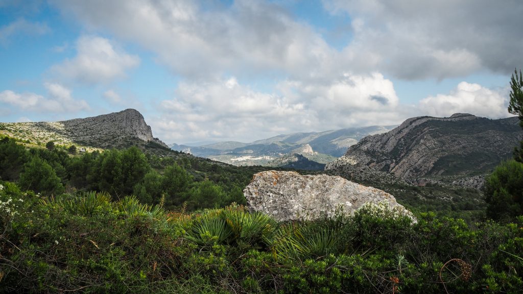
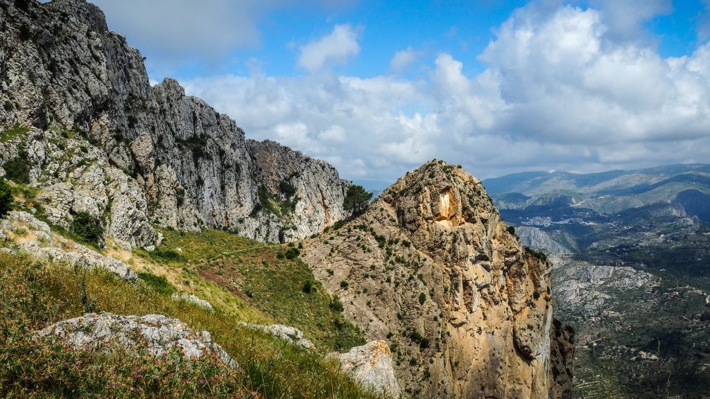
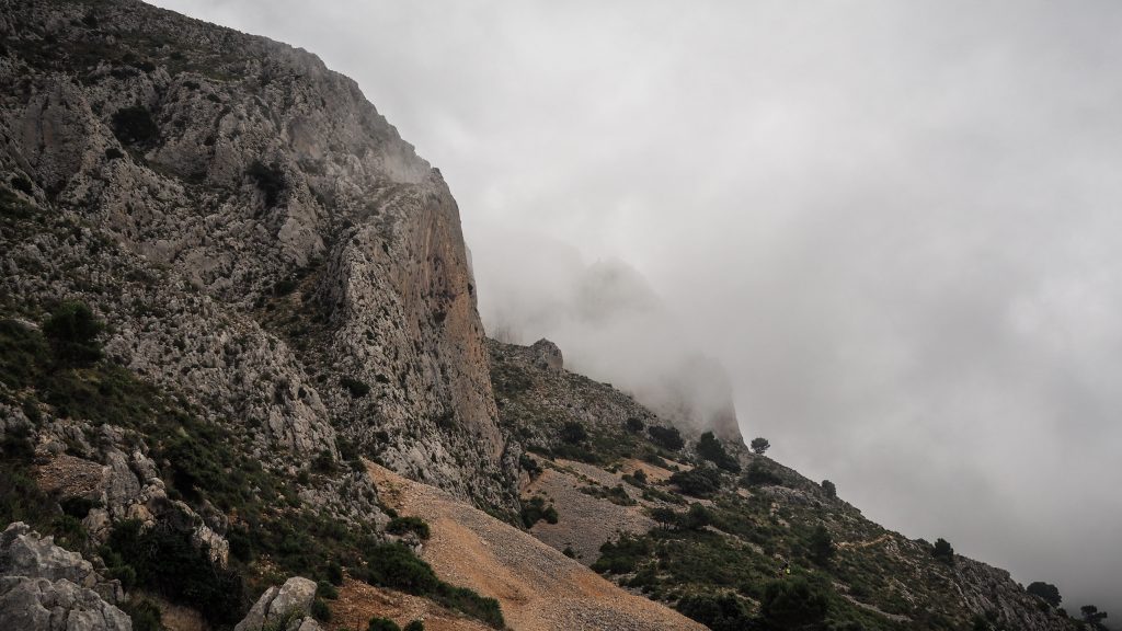
Sierra Bernia mountain range is located around 140 km south of Valencia and 65 km north of Alicante, covering an area of 1,900 hectares. It divides the Costa Blanca from North to South creating the Marina Alta and Marina Baja. The highest peak is at 1.128 m a.s.l.
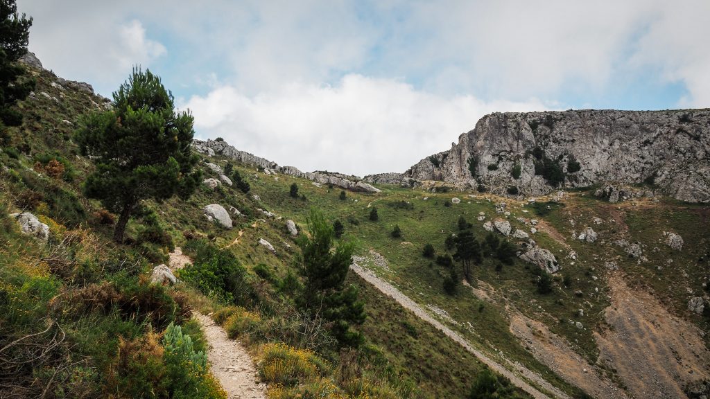
Sierra de Bernia Circuit is the most popular hike in the area, including breathtaking views as well as adventurous crawl through the tunnel in the rock to the other side of the mountain. The whole route is between 9 – 10 km and should take approximately 4 hours to complete.
We got to the starting point with a rental car and once we turned off the highway and passed through Benissa, the road turned into an experience in itself. It is in a very good condition but quite narrow and winding so be careful, especially when you see the cyclists or cars coming from the other direction.
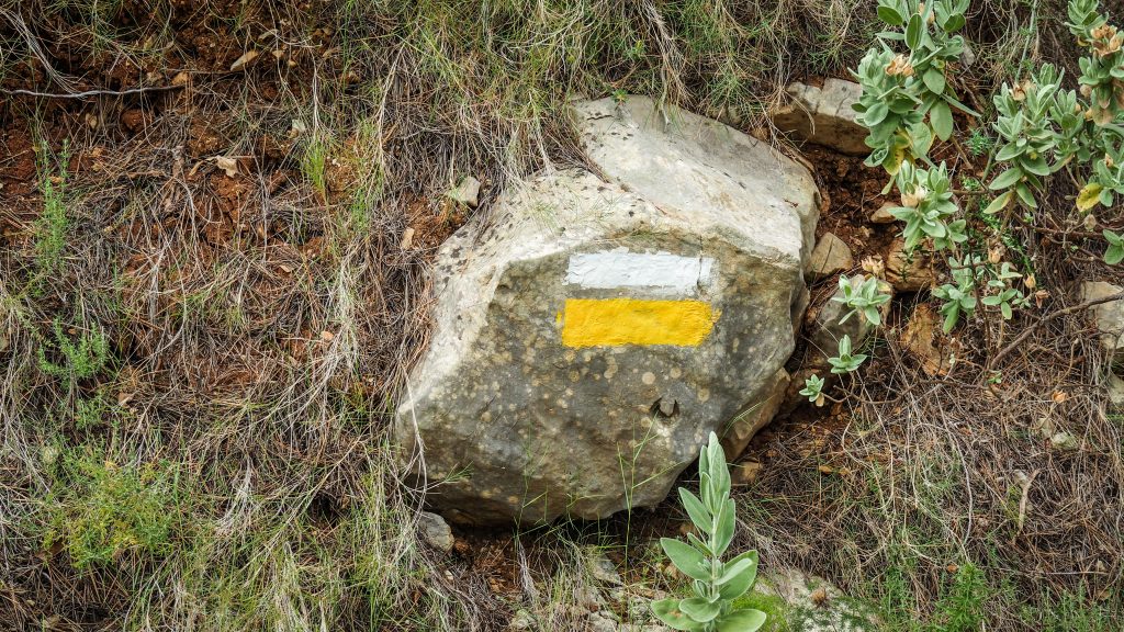
Leave the car next to Restaurant Serra Bernia and proceed beyond the building to the crossroad with trail directions. Does it matter if you follow the track in clockwise or anticlockwise direction? Honestly, I don’t think so. We decided to turn right and follow the trail in counter-clockwise directions.
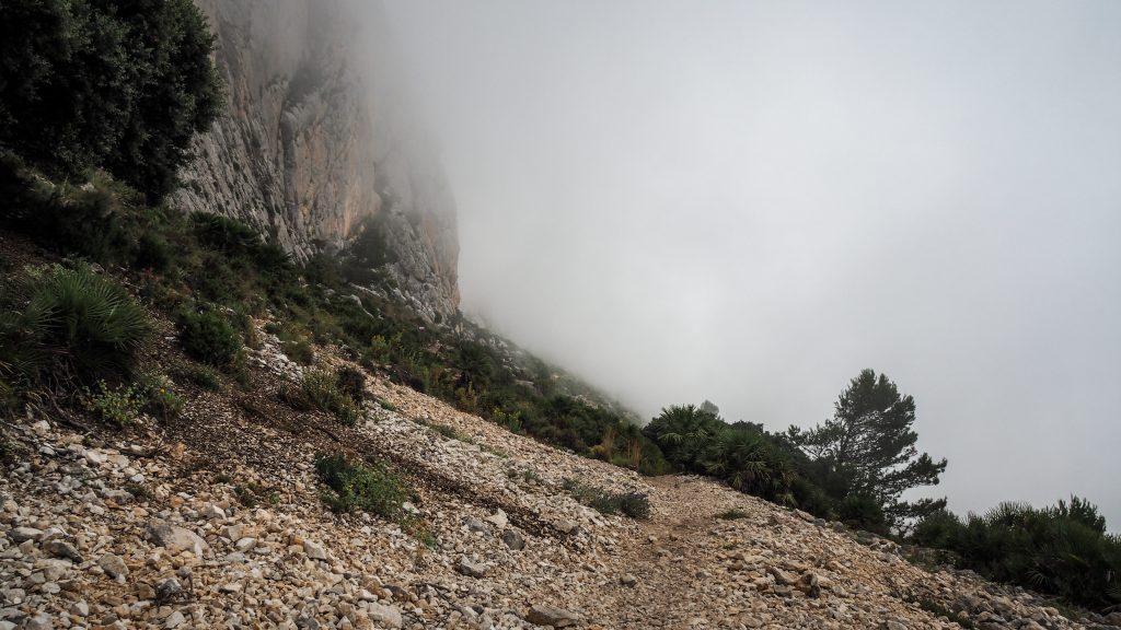
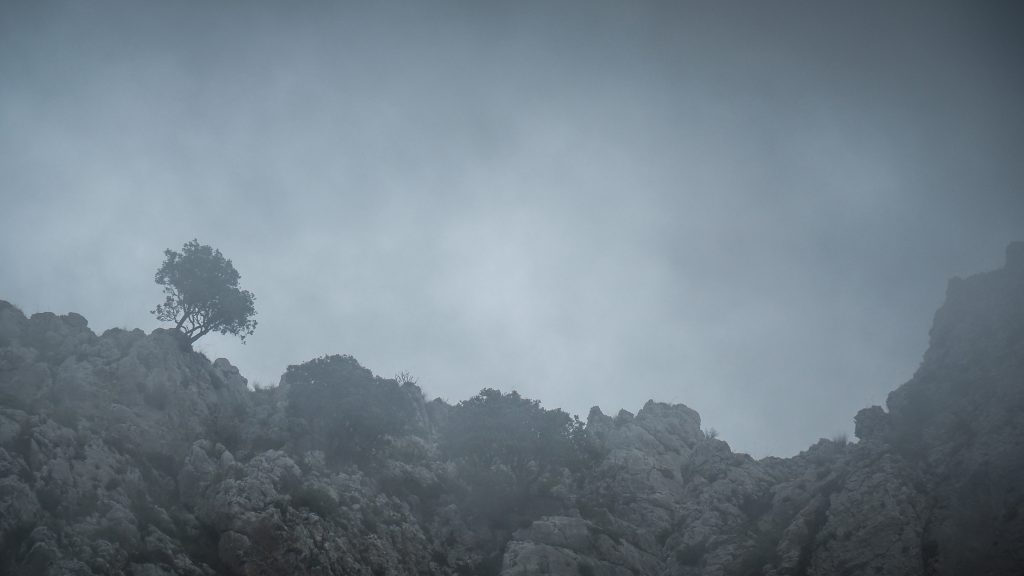
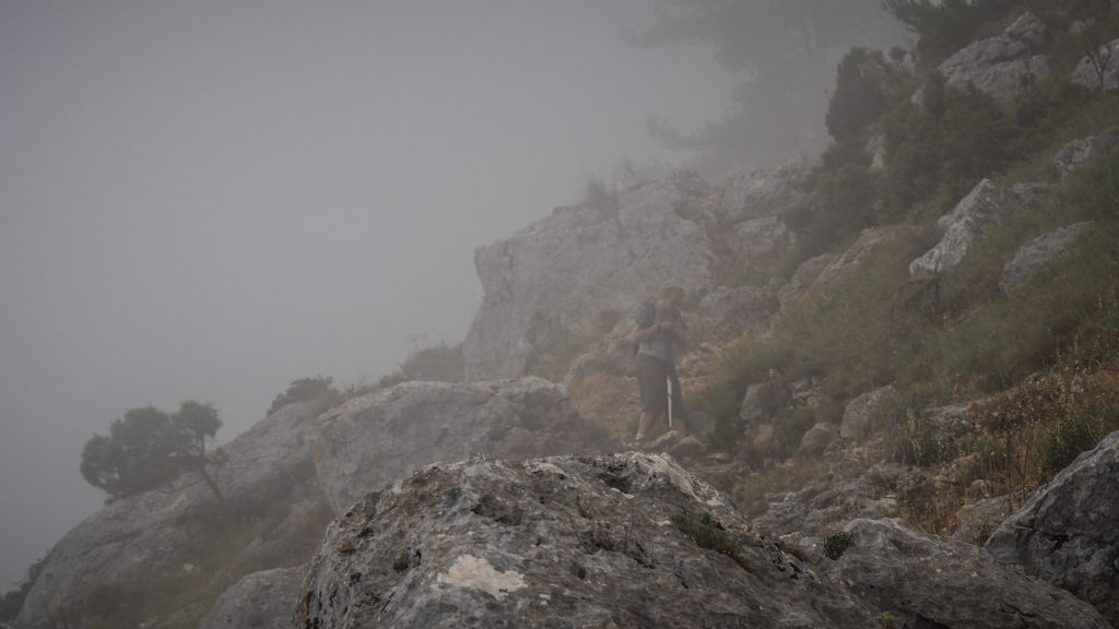
It was the beginning of July and it scared us at first but seems we were lucky enough to bring some clouds with us. After a sunny and hot beginning, it was around halfway to the Fort when first clouds rolled in bringing a pleasant shadow. In general, aim for the start in the early morning and late afternoon, especially during summer months.
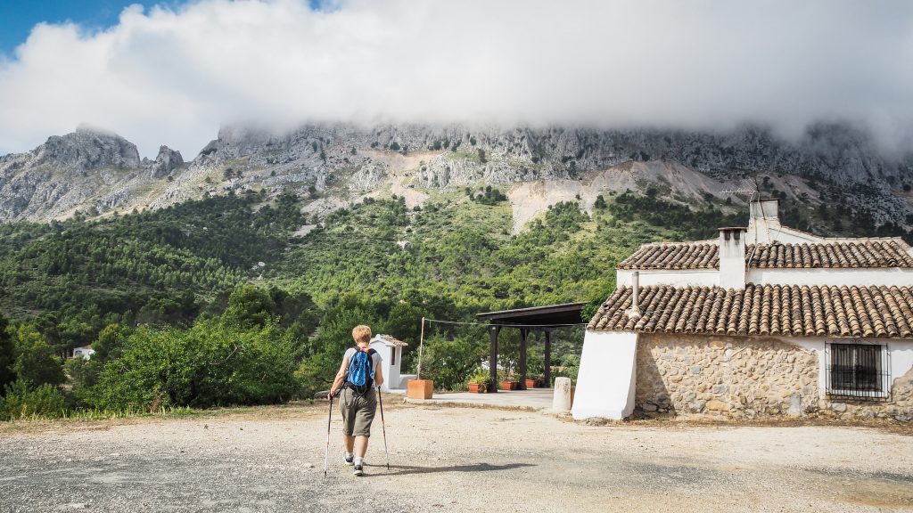
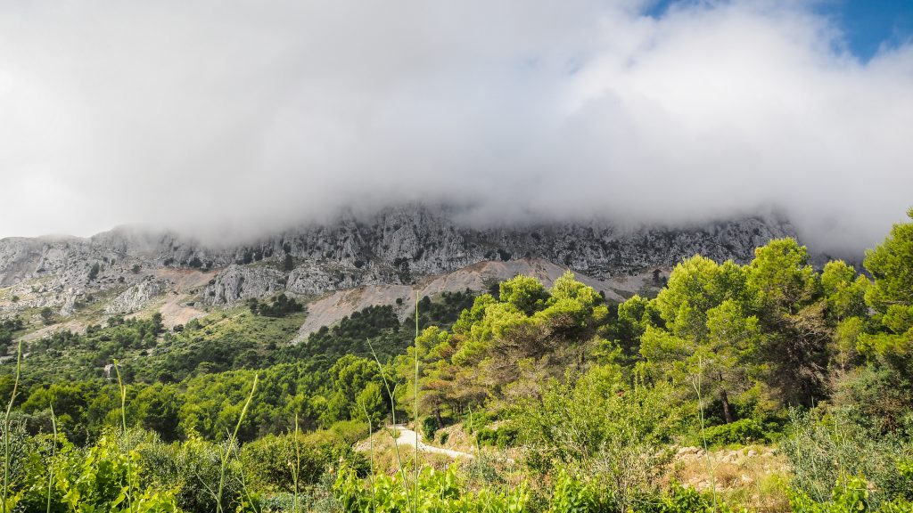
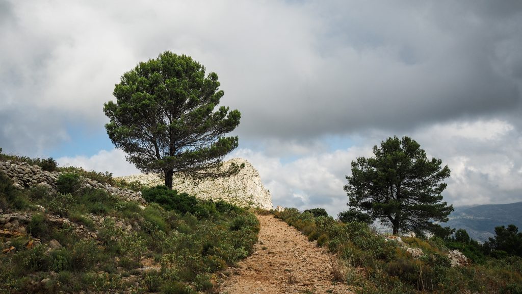
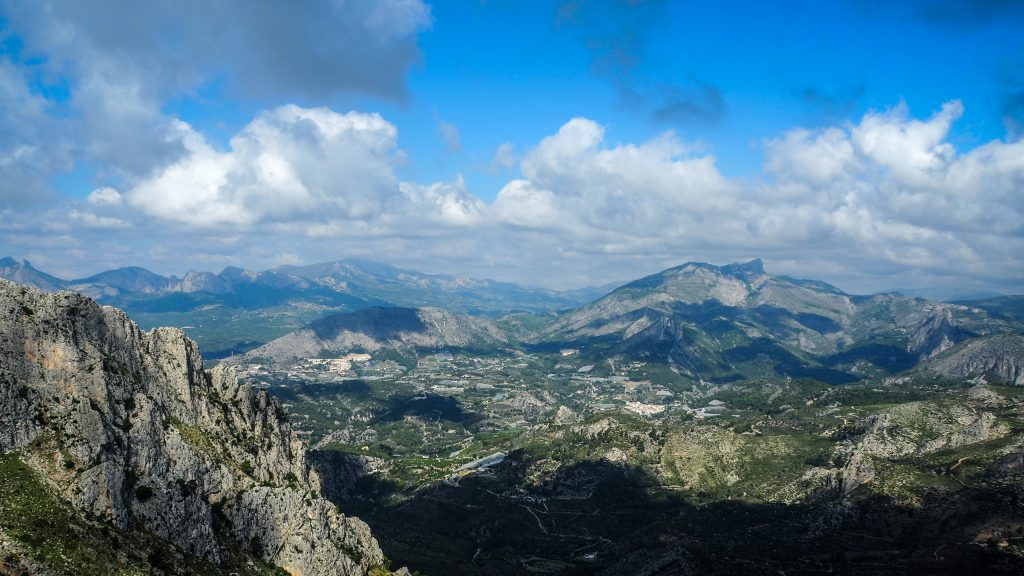
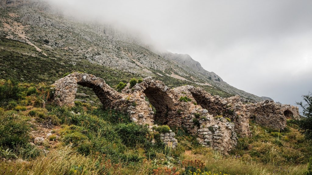
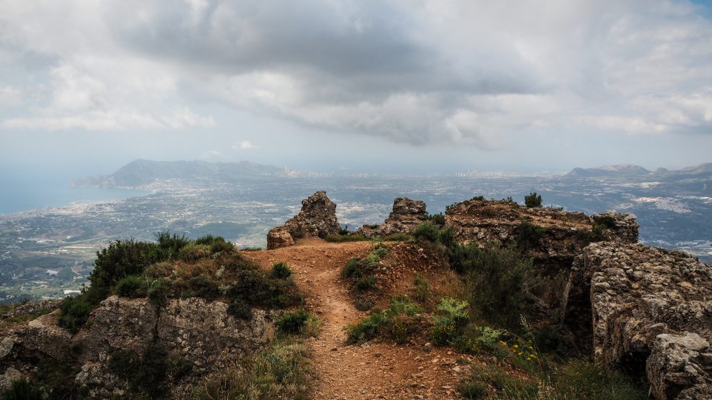
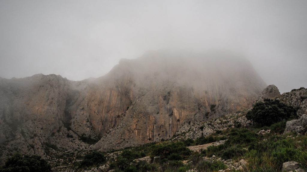
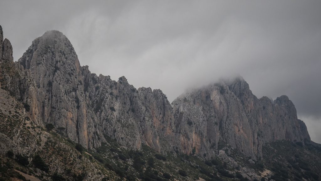
The fort was our first stop and the path from the parking lot was gradually ascending until we saw first ruins in front of us. The views were simply awesome all the way up with Sierra de Bernia mountain range on the left side and wide-open panorama on the right. Better keep your camera close. The fort was designed by Juan Bautista Antonelli in 1562 and commissioned by Prince Philip II to combat the Moorish uprisings. Being located 803 m a.s.l. certainly helped to do the job very well. Today you can see the skyline of Benidorm and apparently if the weather permits, even the islands of Ibiza and Mallorca.


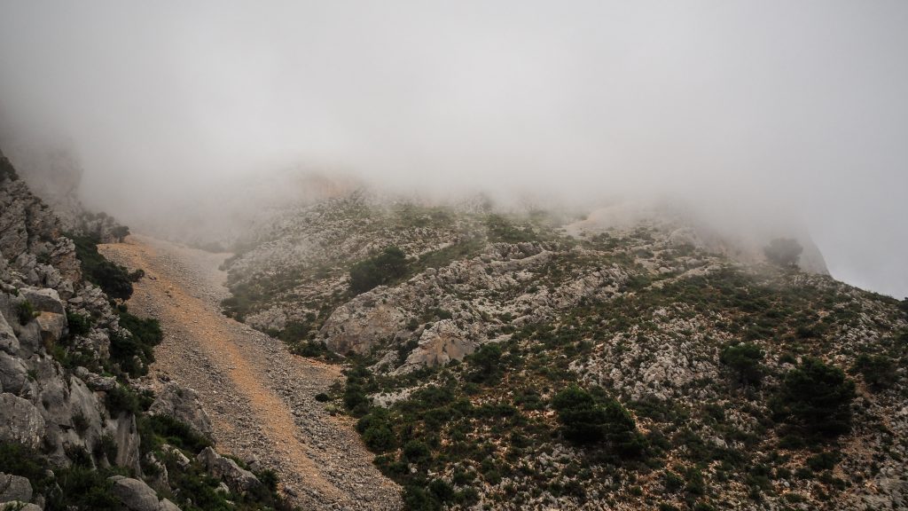
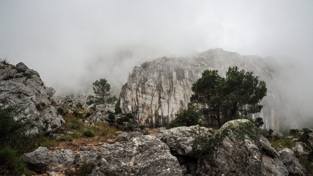
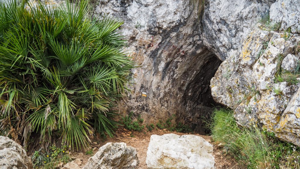
From the fort, the track continues towards the Forat, which is a man-made tunnel through the rock to the other side. It’s not too long, just around 20 meters, but if you are tall, you would need to go down on your knees and crawl. In my case, it wasn’t so drastic 🙂
The last leg of the track descents all the way down to the Font which is a nice place to refresh before the final section back to the parking. The path here becomes much wider and within a couple of minutes, we were back at the parking. Just in time, as it started to rain 10 minutes later! For the second half of the day, we made our way to Calpe, which has a nice beach and awesome Nature Park Penyal d’Ifac to relax (or tackle another rock if your energy level permits).


To sum up, the hike was definitely worth the time and I took tons of nice pics and videos. From the physical point of view, it was more serious than I expected and I was glad to have proper hiking shoes, enough water and snacks. If you prepare well and take your time, it’s certainly doable even for spontaneous hikers.