The park is named after Mount Kosciuszko, which at 2,228 metres is Australia’s highest mountain. The best way to discover the area is to go for a walk. Nature enthusiasts will be rewarded with alpine views, crystal clear streams, glacial lakes and historic huts.
At the northern end of the national park are the Yarrangobilly Caves. The limestone dates back 440 million years. An impressive place to discover with an extra opportunity to relax in a naturally heated thermal pool. Don’t forget your swimmers!
During winter, it’s one of the best places in the country for skiing. All New South Wales alpine resorts are within Kosciuszko National Park: Perisher Blue, Charlotte Pass, Thredbo and Mt Selwyn.
Yarrangobilly Caves and Thermal Pool
I made my first stop at Yarrangobilly Caves Visitor Centre to purchase 24 hours pass to the National Park. It costs $17 per vehicle per day (24hrs) and includes free entrance to some of the self-guided caves in the area. I was advised to visit South Glory Cave first and that was exactly what I did.
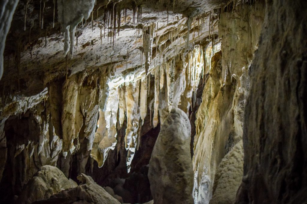
Yarrangobilly’s karst landscapes were created from a belt of limestone laid down about 440 million years ago. Karst environments preserve evidence of climate change, floods, droughts, fires, animal and human activity. All of that makes it an incredible place to discover.
South Glory Cave is the largest one in the Yarrangobilly area of Kosciuszko National Park. I drove past the visitor centre following the signs to the parking. All that area can be easily accessed with a 2WD vehicle. From there, the cave is accessed along a 500m gravel track, leading to Glory Arch. Yarrangobilly river flows just down the escarpment.
The fact that the tour is self-guided makes it much more interesting than just following a group. I was inside completely alone and it took me around half an hour to go through and read information signs. Even though there are sensor lights that switch on as you approach, having your own flashlight is essential. Moreover, the average temperature in this cave is around 10 C so bring a hoodie or a jacket.
After visiting South Glory Cave, it’s a good idea to hike the Castle Cave Walk with the views to limestone cliffs and Mill Creek Gorge. and on to Castle Cave. The track is 3.2 km return and shouldn’t take you more than an hour. Detailed map of the track can be found on the website of NSW National Parks.
If one short track is not enough, head back towards the parking and join Yarrangobilly River Walk. It’s an easy 3 km loop beside the river with an interesting stop on the way – Thermal Pool. Water temperature is on a constant level of 27C so bring your swimsuit and towel! It was nice to jump in and refresh my body, especially after a visit in a cold and damp cave. Detailed map of the track can be found on the website of NSW National Parks.
Glory Farm Walk is a short extension to the thermal pool walk. It’s 2.8 km long (return hike) and follows Yarrangobilly River to the site of Henry Harris’s Glory Hole Farm which provided meat and vegetables for the Kiandra miners in the late 1800s.
There are more caves in the area: Jillabenan Cave, Jersey Cave and North Glory Cave. The first one can be visited on a guided tour. It’s the smallest of the Yarrangobilly Caves with the path through it being 73m long. I didn’t join the tour as visiting South Glory Cave fulfilled all my expectations towards stalagmites and stalactites 🙂 Jersey Cave and North Glory Cave are closed until further notice.
After longer than expected visit in Yarrangobilly Caves, it was time to move on toward Thredbo, which was over 2 hours away.
Mount Kosciuszko Summit (Main Range Walk)
There is not much to do in Thredbo outside of ski season. I had a short walk but then simply made my way to Ngarigo campground which is located along Alpine Way. The place isn’t big but there was only one more campervan parked. I have no idea what the temperature in the night was, but it was damn cold! Definitely the coldest night in Australia during my trip. I used everything I could: blankets, sleeping bag and hoodie.
I woke up at dawn I set off without breakfast. It was the first time that I had to turn on the heating as the front windshield got icy! The way to the parking at the end of Kosciuszko Road took me about 1 hour. After breakfast, I packed my backpack and followed the Summit Track. The distance to the summit is 9.3 km (about 2 hours) but I had the plan to take another path on the way back, completing the loop called the Main Range Walk. It’s a 22 km loop that in theory should take between 7-9 hours but in my case, it was rather closer to 5-6 hours.
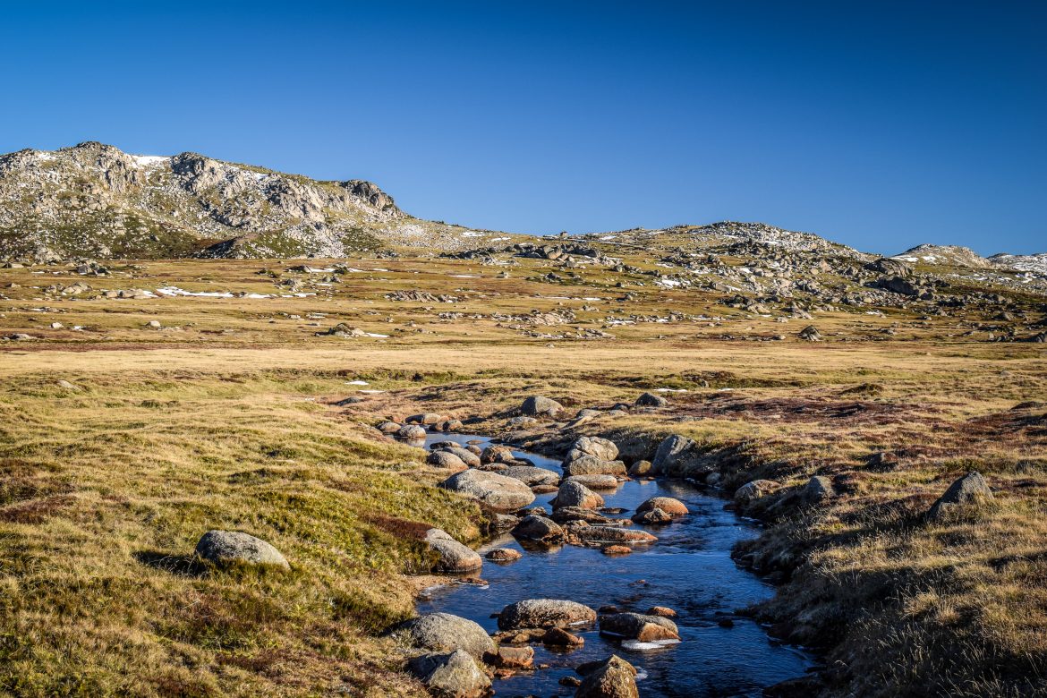
The morning was very cold but the sun was rising higher and higher warming up the air. Small streams along the track got frozen and there was snow clearly visible in the upper parts of the mountains. I definitely didn’t expect to see it in Australia!
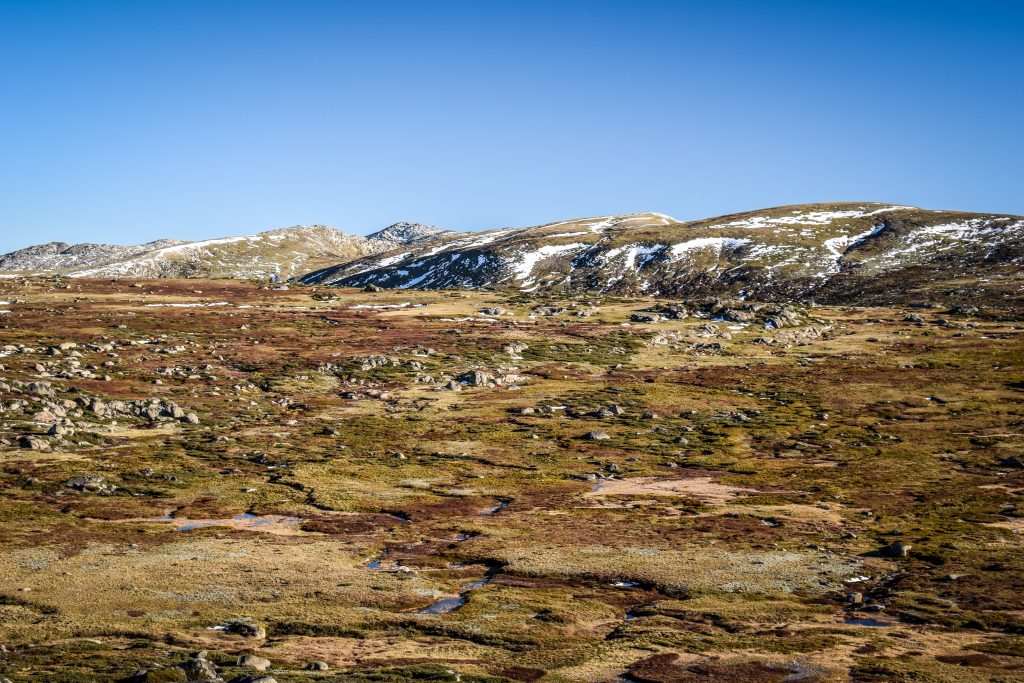
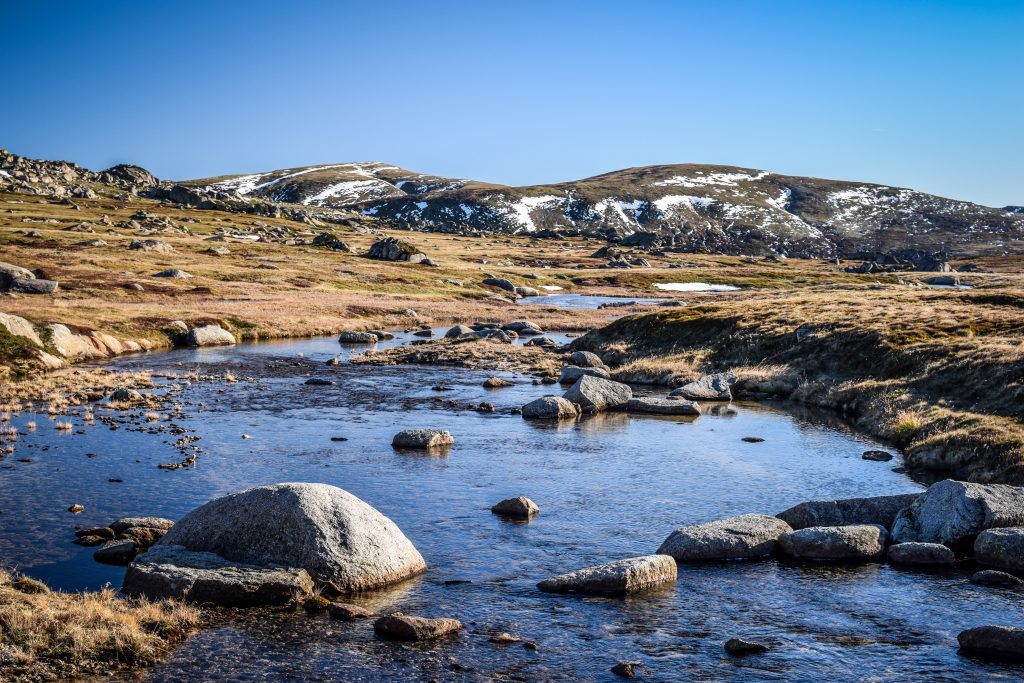

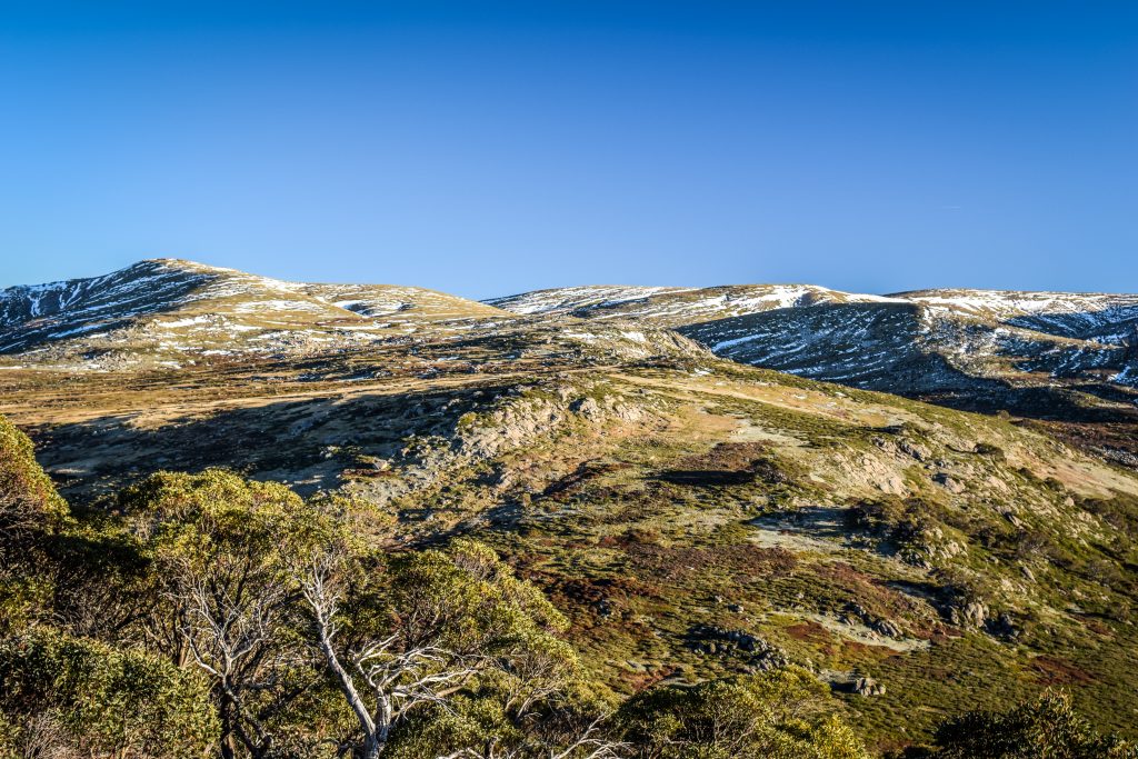
I crossed Snowy River and then, 6 km from the beginning of the track, I passed Seaman’s Hut which is a small safe haven if the weather turns. Rawson Pass is another 1.7 km away. Here it was the time to turn right and make the final ascent to the summit of Mount Kosciuszko.
You may wonder, where the name comes from?
It was given by Polish explorer Count Pawel Edmund Strzelecki who was the first to summit the peak in 1840. It refers to Polish hero General Tadeusz Kosciuszko, a prominent figure in the American revolution. Apparently, the highest Australian mountain looks similar to the sight in which General Kosciuszko was buried.


From the distance, the mountain doesn’t look impressive at all. But in sunny weather, the views from 2228 m a.s.l. are decent enough to justify the effort 🙂 Honestly, the landscape here doesn’t feel like Australia at all. Or maybe I just got used to the desert on one side and the ocean on the other?


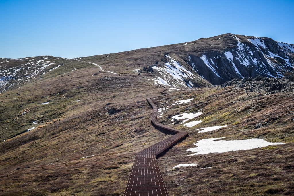


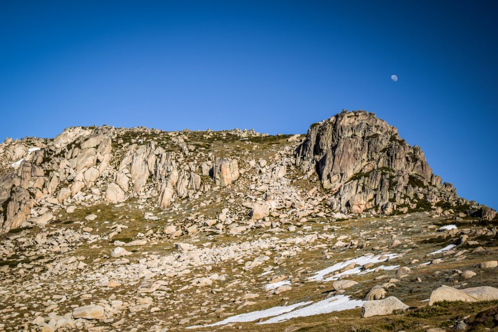
I started the descent following the same way as before but shortly after I turned left on the track leading towards Muellers Pass. Then, it continues to Northcote Pass which is just next to Albina Lake. There is an opportunity of a short detour to Blue Lake which is definitely worth doing.
I’m not sure what are the rules of freedom camping in Kosciuszko National Park but I saw two tents pitched on the meadows. Certainly, the nights are cold, but what a great location! If you are a camping enthusiast, consider doing the same.
After crossing the Carruthers Creek, the track goes to the meeting point of Club Lake Creek and Snowy River. From here, the last uphill section leads back to the parking lot.

