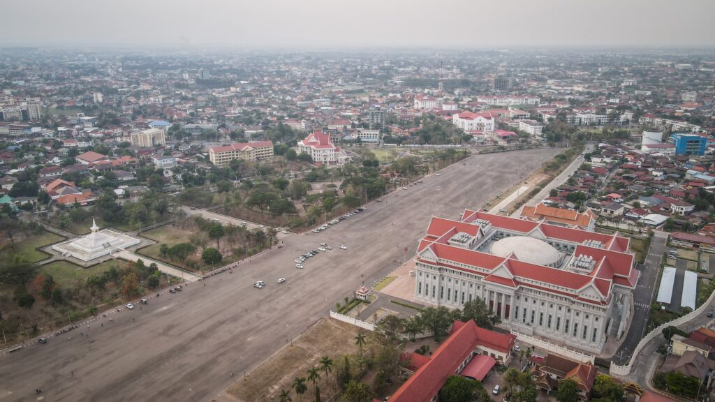
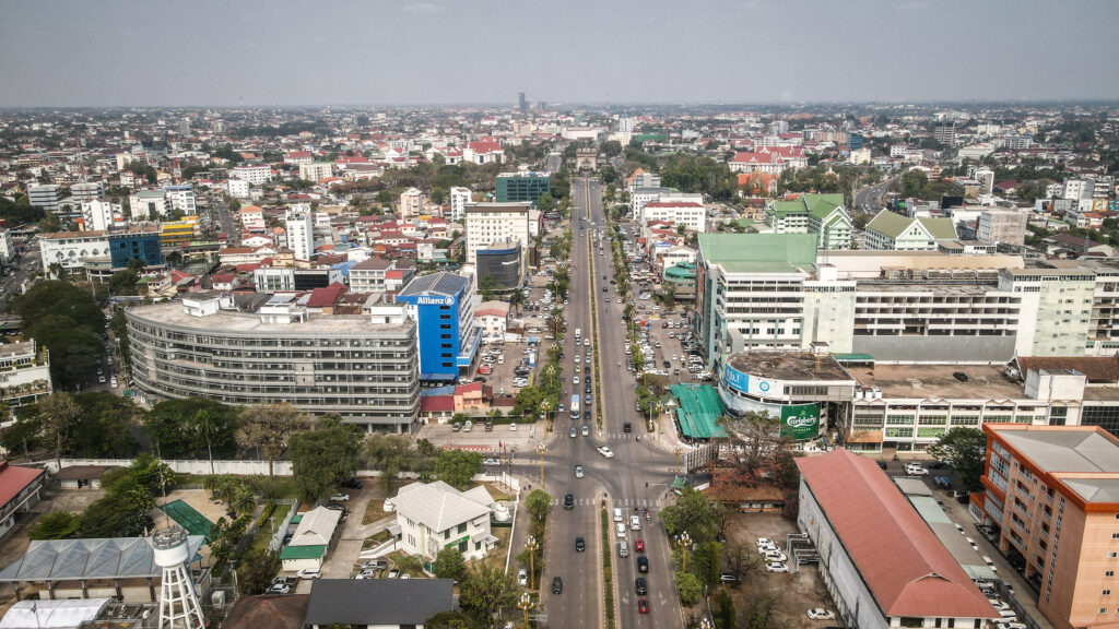
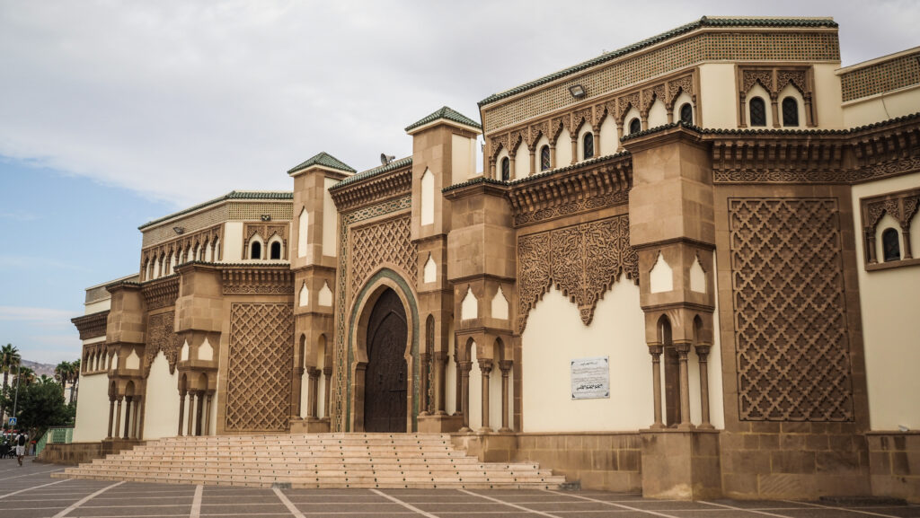
Nestled on the northern coast of Borneo, this charming capital city of Brunei Darussalam is a fascinating blend of rich cultural heritage, stunning Islamic architecture, and modern urban development. Whether you’re wandering through the streets of the city centre, exploring the historical water village of Kampong Ayer, or marvelling at the grandeur of the Sultan Omar Ali Saifuddien Mosque, Bandar Seri Begawan promises a unique and memorable travel experience.
A brief history
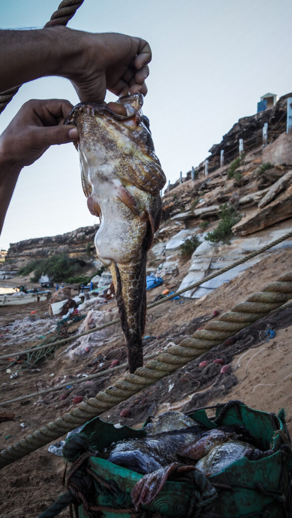
The area now known as Bandar Seri Begawan was historically a centre of power for the Bruneian Empire, which reached its peak in the 15th and 16th centuries. It was a vital trading hub in Southeast Asia, engaging in commerce with China, the Malay Peninsula, and other regions. Brunei was well known for its rich sources of exotic jungle and sea products like camphor, spices, agarwood, lakewood, resins, sago, birds’ nests, wax, honey, tortoise and turtle shell, and pearls.
Early settlements in the area were part of Kampong Ayer, a historic water village along the Brunei River. This area has been inhabited for over a thousand years.
The reign of Sultan Bolkiah (1485 – 1524) was known as the golden age of Brunei. During his reign, the sultanate not only covered the entire Borneo Island but even reached as far as Luzon in the Philippines. Its importance further grew when Malacca fell into the hands of the Portuguese in 1511.

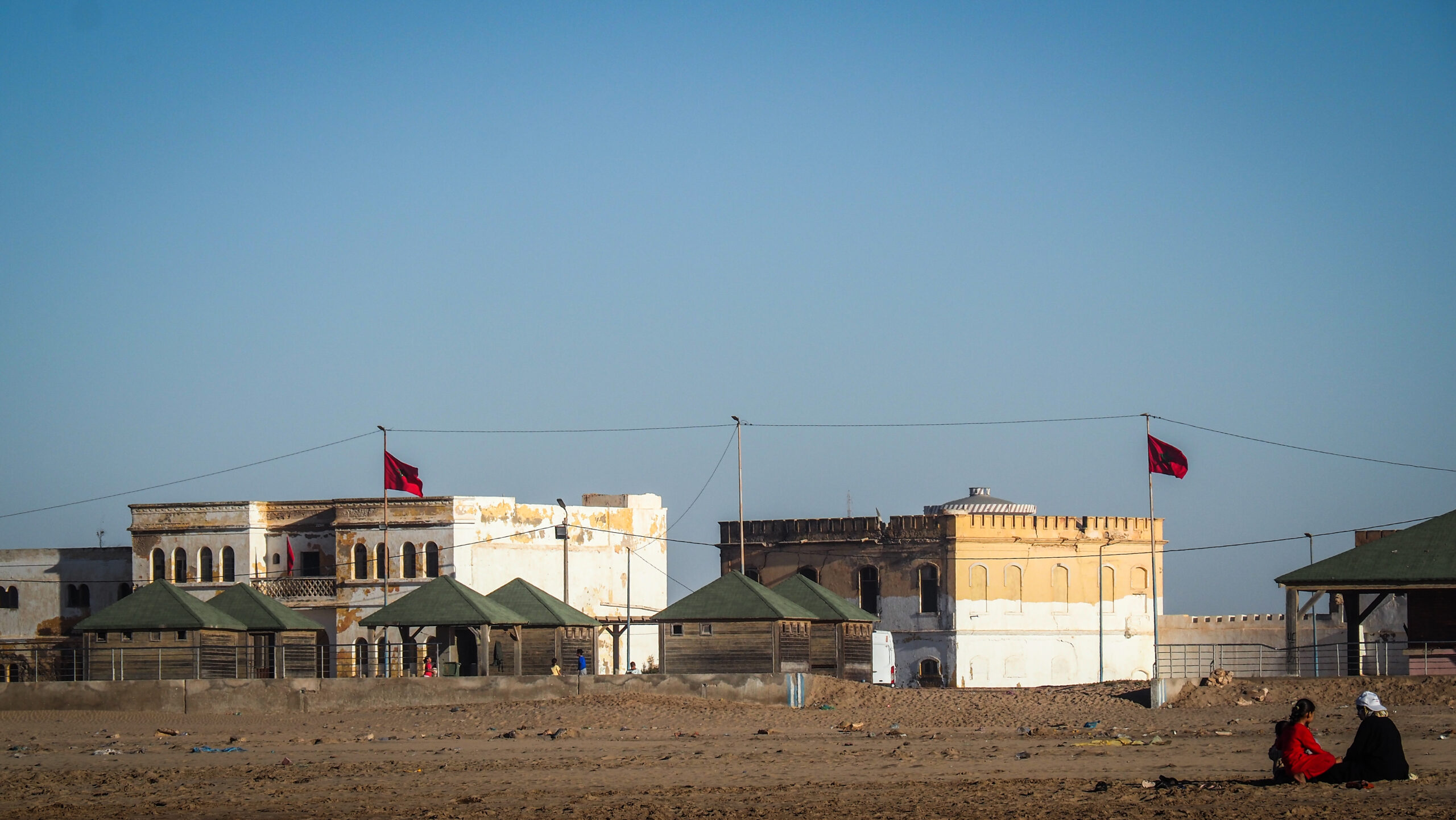
In the late 19th century, Brunei became a British protectorate. During this period, the capital, then known as Brunei Town, saw infrastructural developments, although it remained relatively small and traditional.
The town was occupied by Japanese forces from 1941 to 1945. During this time, much of the town was destroyed by Allied bombing, necessitating significant post-war reconstruction.
After World War II, Brunei Town underwent substantial rebuilding and modernization. In 1970, it was officially renamed Bandar Seri Begawan in honour of Sultan Omar Ali Saifuddien III, who abdicated in 1967 but was instrumental in the country’s modernization efforts.
The discovery of oil and natural gas significantly boosted Brunei’s economy in the mid-20th century, leading to rapid urban development. The city developed modern infrastructure, including roads, buildings, and public amenities. Despite modernization, Bandar Seri Begawan has maintained its cultural heritage, particularly in Kampong Ayer, where traditional stilt houses are preserved.
How to get to Bandar Seri Begawan?
To get to Brunei, you can consider the following options:
By Air
The fastest and most convenient way to reach Brunei is by flying. Needless to say, it’s also the most expensive option, even if you take a short flight from Kota Kinabalu.
By Land
Travelling by land is possible if you’re coming from neighbouring Malaysia. There are bus services from Miri or Limbang in Sarawak and Kota Kinabalu in Sabah. This journey from Kota Kinabalu can be even 10 hours long and involves crossing the border 4 times so get your passport ready for plenty of new stamps.
By Sea
Ferries operate between Labuan, a Malaysian island, and Muara, Brunei’s main port. The ferry ride takes about 1.5 to 2 hours. Check the schedule beforehand as the connections aren’t daily.
For ticket booking, visit Easybook or 12Go.Asia
When to go?
The best time to visit Brunei is during the dry season, typically from January to May. During these months, the weather is generally warm and less humid, with lower rain chances, making it ideal for outdoor activities and sightseeing. In other months you can expect higher humidity and more rain but still, you will have no problems with getting around.
Where to stay?
I stayed 3 nights in a private single room at Co. Living Hostel Bandar. The bathroom was shared and clean but unfortunately only one for the whole hostel. The internet was really fast and there was a small desk in the room, making it perfect for online work. The location is within walking distance of the waterfront and Omar Ali Saifuddien Mosque.
For the last 2 nights, I moved to EZ Lodgings. There were 2 shared bathrooms and the room was quite spacious. The location is near The Gadong Mall and the main tourist attractions are within 10 minutes taxi ride.
You will find much more options on Agoda than on Booking.com
How to get around the town?
Many places can be easily visited on foot but if it’s too hot then without a doubt, the best option is to book a taxi. Grab doesn’t work in Brunei but there is another app called Dart.
What to do in Bandar Seri Begawan?
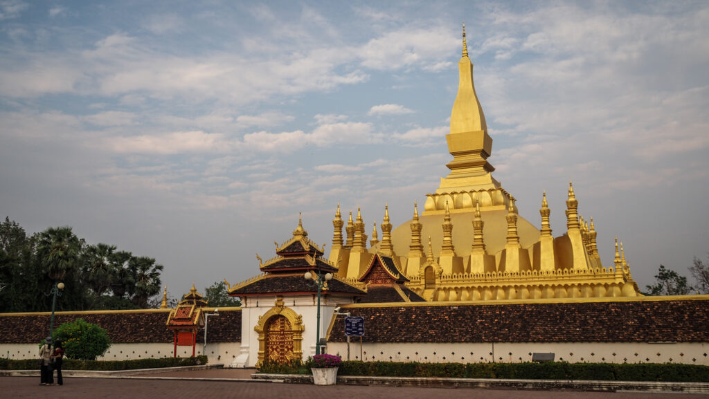
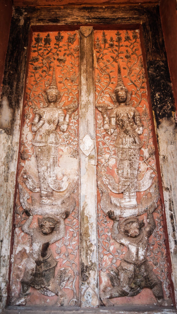
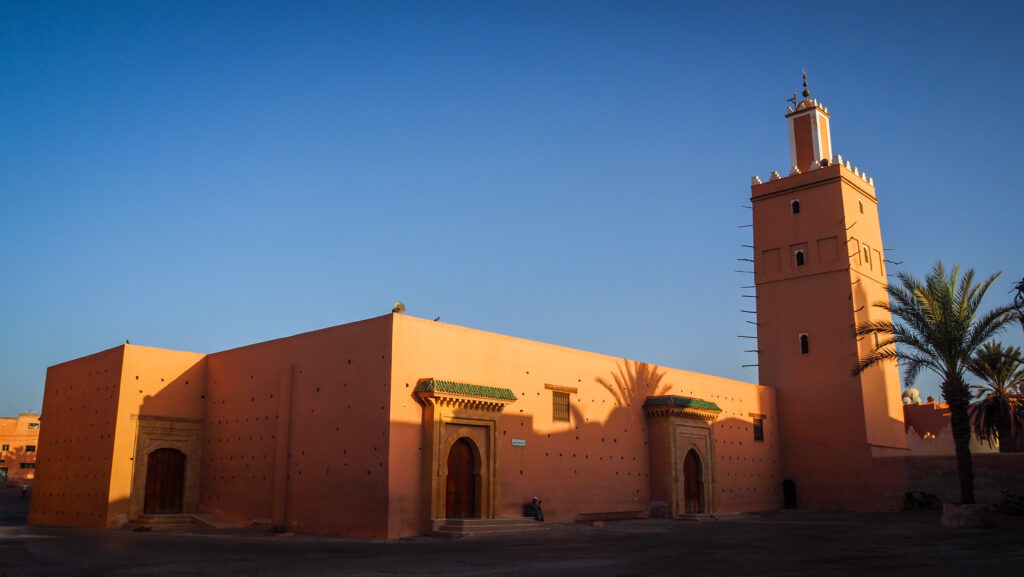
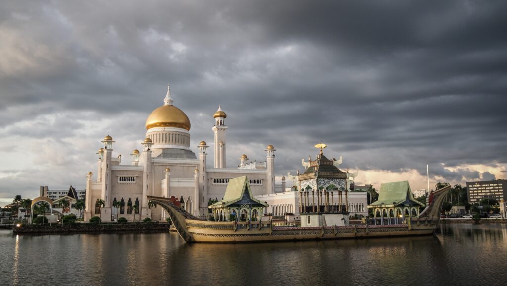
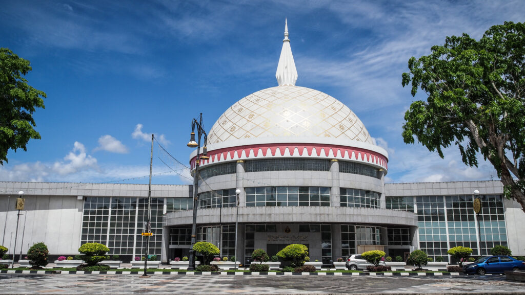
Omar Ali Saifuddien Mosque
Finished in 1958 and named for the late father of the current sultan, the 28th Sultan of Brunei. The structure is encircled by an artificial lagoon that doubles as a reflecting pool. The interior design is quite opulent. The best Italian marble was used to create the floor and walls, the chandeliers were created in England, and the carpets were transported in from Saudi Arabia.
Visiting hours for non-muslim are as follows:
Saturday – Thursday: 8:30 AM – 12 NOON, 1:30 PM – 3:00 PM, 4:30 PM – 5:30 PM
Friday: Closed
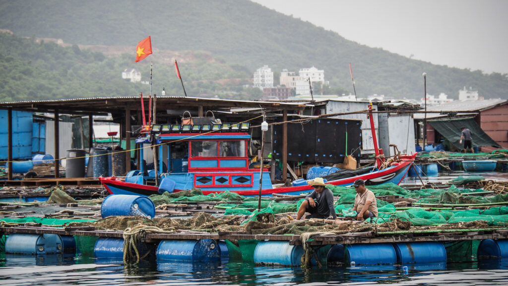
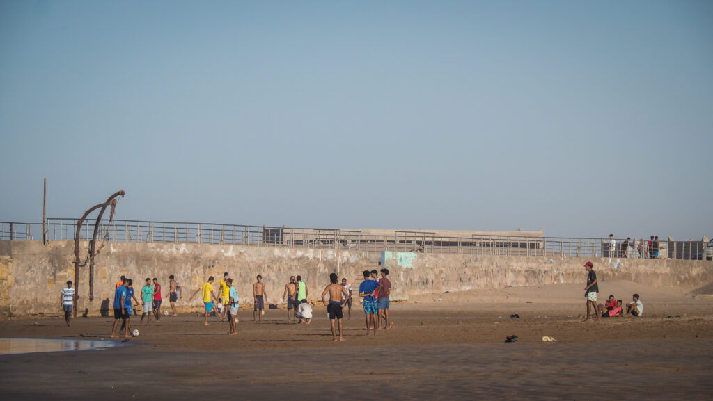
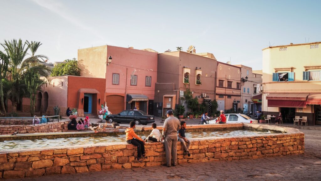
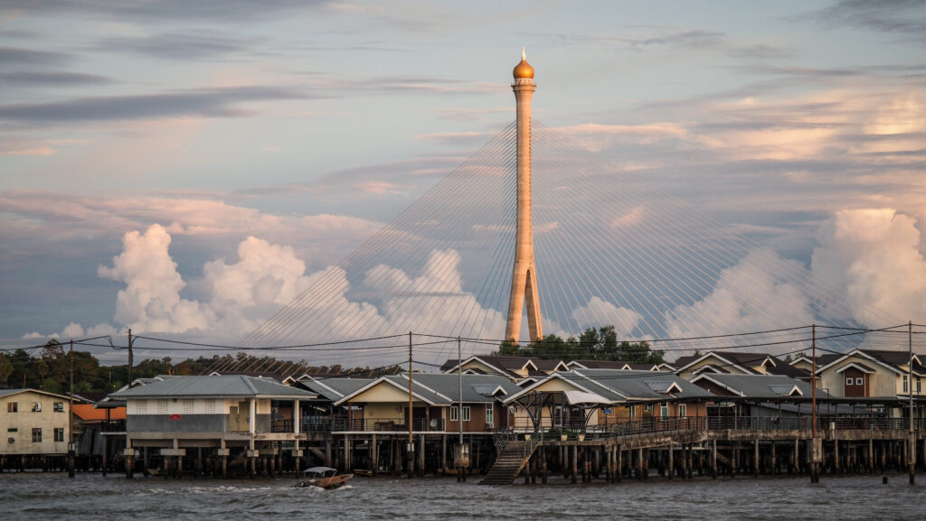
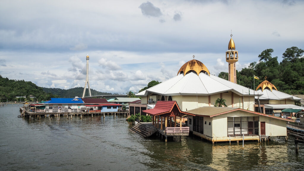
Brunei Waterfront
The busiest place in town in the evenings. Locals come for prayer at the nearby mosque and then stroll along the waterfront, around the illuminated fountain and trees. It’s also a popular place for joggers and there are surprisingly many of them in Bangar Seri Begawan.
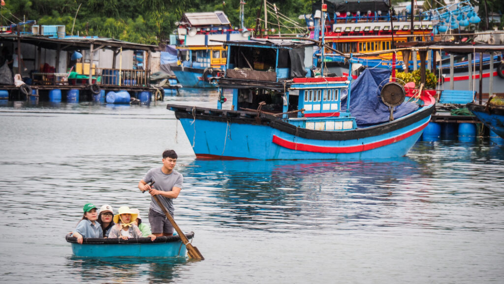
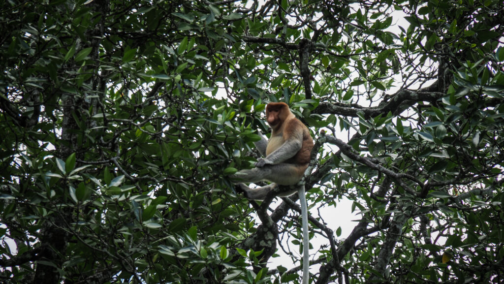
The popular way to experience the waterfront, water village and nearby forest is to take a boat ride. It should cost about 25 – 30 BND for a 1-hour tour, including a stop at Kampong Ayer.
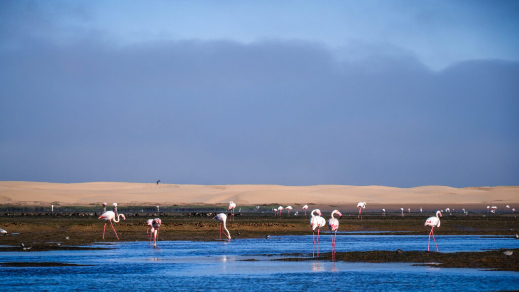
We went first to see proboscis monkeys and then came back to pass through the floating village. It was a perfect ride and one of the highlights of my trip to Brunei. The boat driver wasn’t rushing and he was trying hard to show me the monkeys from the best angle.

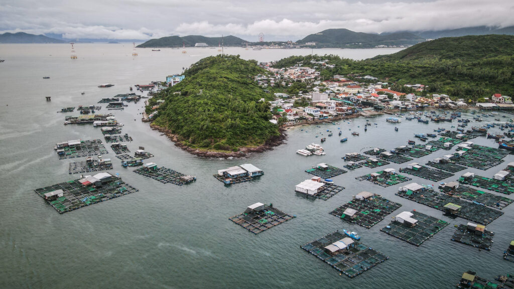
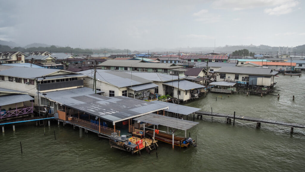
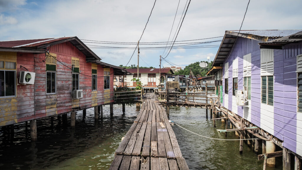
Kampung Ayer (Water Village)
Kampong Ayer is a 30,000-person community made up of 42 connected stilt villages situated beside the Brunei River. It is considered to be the world’s largest stilt town. Half of Brunei’s Malay people lived here a century ago, and many still do now. The community has its fire department, police station, schools, and mosques. The Cultural and Tourism Gallery is free to visit and it presents the history, lifestyle and crafts of the Kampong Ayer people.
The best way to get to the village is by boat from the Brunei Waterfront. If you have a car, you can also cross the Raja Isteri Pengiran Anak Hajah Saleha Bridge and access the settlement from the backside.
Istana Nurul Iman
The Palace is the house of Brunei’s Sultan Hassanal Bolkiah and stands on the banks of the Brunei River. It is open for visitors only for three days a year, after the month of Ramadan.
Muslims have access to the palace for ten more days in Ramadan mainly for religious purposes. During the rest of the year, you can only admire the palace from the outside.
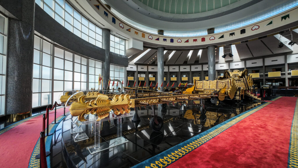
Royal Regalia Museum
The gifts presented by various heads of state to the sultan of Brunei are presented here. You will see the replica of Angkor Wat in Cambodia and a copy of the Grand Mosque of Mecca in Saudi Arabia crafted from precious metals and stones.
The sultan’s life is shown through family images and illustrative texts, from boyhood through military training at Sandhurst to his opulent wedding and active adult life.
Two chariots from the 1968 coronation and the 1992 Silver Jubilee parade of the sultan are also on exhibit. The chariot is escorted by a phalanx of traditionally dressed, headless mannequins that symbolize those in attendance that day.
Brunei History Center
The museum documents the whole history of Brunei from the settlement, and colonialism to modern history. It includes a collection of letters, a constitution gallery, and a section about spices. The entrance is free.
Teng Yun Temple
The oldest Chinese temple in Bandar Seri Begawan was constructed in the 1960s and is accessible to both worshipers and outsiders.
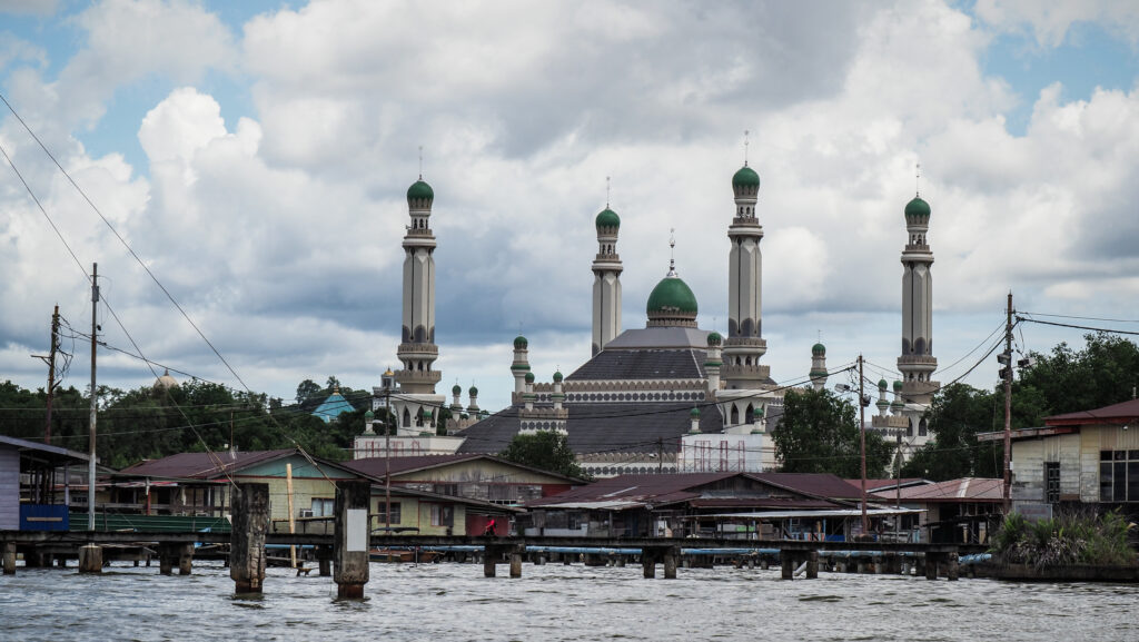
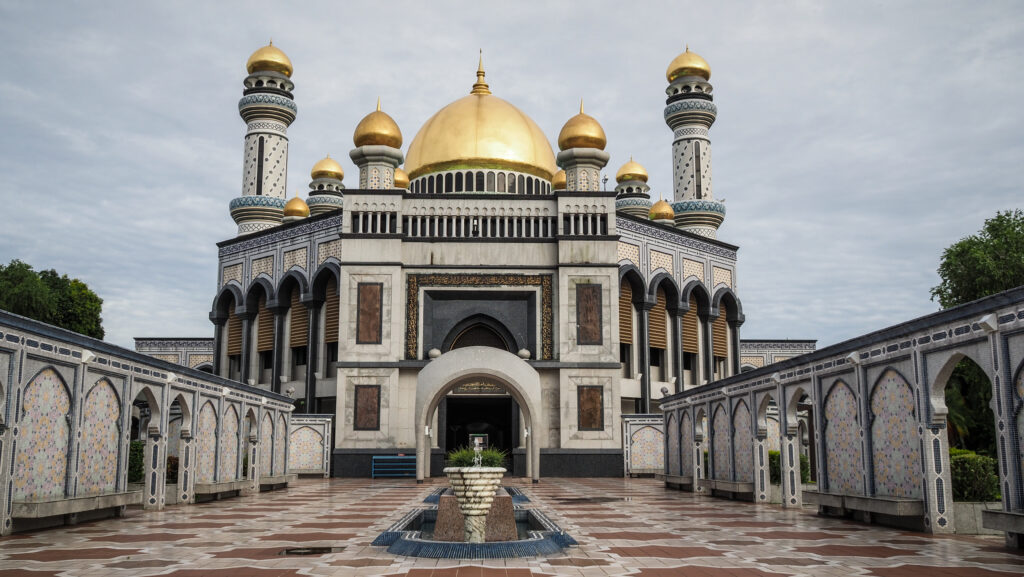
Jame’ Asr Hassanil Bolkiah Mosque
Constructed in 1992 to commemorate the 25 years of the sultan’s rule, Brunei’s biggest mosque towers over its surroundings with its four minarets covered in terrazzo tiles.
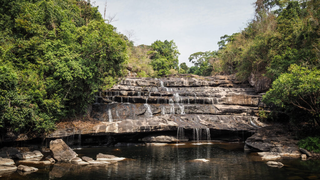
Tasek Lama Recreational Park
There are designated trails that lead to picnic spots, waterfalls, and a tower atop a hill that provides views of the surrounding forest and the city. For a longer walk, head towards Bukit Laur and Bukit Markucing and then descend towards Jalan Subok and order a taxi via Dart to take you back to town. Such a trip should take between 2 – 3 hours. Wear appropriate footwear and take a lot of water.
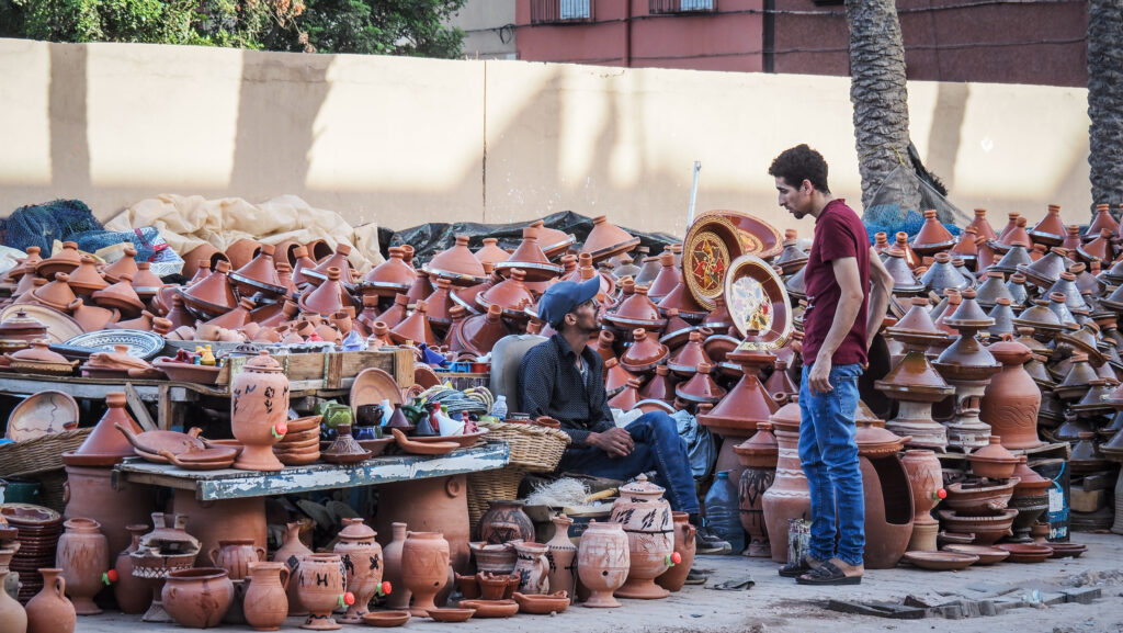
Gadong Night Market
Some stalls sell relatively cheap meals, not necessarily very delicious but would offer a decent taste of the local food. It’s a nice place to hang out, especially given the city’s general lack of nightlife.
Maritime Museum
The main room houses an impressive ship skeleton lined with ceramic vessels. The ship was found in 1997 and is thought to have sailed in the late 15th or early 16th century from China, but when it got closer to Brunei, terrible weather struck.
The museum is located at Kota Batu, 5 km east of the city centre.
Malay Technology Museum
The museum is full of exhibits about the Malay way of life, living on stilts, different industries and lifestyles adapted to survive on the swamps. Interesting and worth visiting.
Mausoleum of Sultan Bolkiah
Quiet and peaceful place with a small but interesting interpretive centre to learn about the history of Kota Batu as the first capital of Brunei,