Introduction
Just a couple of hours east of Quito, Papallacta is a small mountain village best known for its natural hot springs and beautiful high-altitude scenery. Located in Napo Province, on the eastern side of the Andes, it sits along the road connecting the capital with the Ecuadorian Amazon. The journey itself is part of the experience, with the road climbing through open mountain landscapes before descending towards the greener, more humid slopes on the Amazonian side of the mountains.
Papallacta is a good place to slow down for a day or two, especially after spending time exploring Ecuador’s volcanoes and hiking trails. The weather is often cold, misty and unpredictable, but that is part of its appeal. Soaking in warm water while clouds drift across the surrounding mountains is a very different experience from visiting a hot spring in a tropical setting.
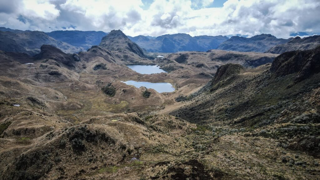
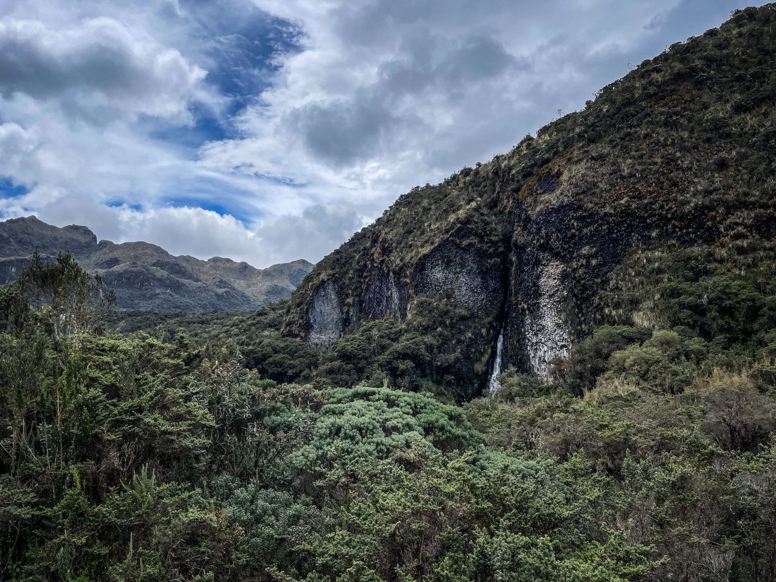
However, there is more to Papallacta than its thermal pools. The surrounding area is characterised by the paramo, a high-altitude ecosystem found across the northern Andes. Its open grasslands, low shrubs, wetlands and scattered patches of native forest create a landscape that feels quite different from the more familiar forests and valleys of lower elevations.
The area lies close to Cayambe-Coca National Park, an extensive protected area known for its mountain scenery, lakes and biodiversity. Depending on the weather and access conditions, visitors can explore local trails, look for birds or simply stop along the road to enjoy the views. The wider region is also associated with the impressive Antisana Ecological Reserve, home to high Andean landscapes and wildlife.
For hikers and nature lovers, this is a particularly interesting part of Ecuador. The scenery changes considerably with altitude, and the combination of paramo, cloud forest and the transition towards the Amazon makes the region worth exploring beyond a single visit to the hot springs. However, some trails and protected areas require planning, so it is worth checking local access before setting off.
How to get to Papallacta?
Papallacta is approximately 65–70 km east of Quito. By car, the journey usually takes around 1.5–2 hours, depending on traffic and weather. You can drive yourself, arrange a private transfer or join a day tour from Quito.
Public buses also travel along the Quito–Baeza route, passing through the Papallacta area. The main bathing complexes are not right beside the bus stop, but you can easily get there by taxi for 2-3 USD.
The drive crosses high mountain terrain, where fog and rain can reduce visibility considerably. Allow extra time, particularly if you plan to return to Quito on the same day.
Where to stay in Papallacta?
Accommodation in Papallacta can be surprisingly expensive, especially if you want to stay right next to the thermal pools during the weekend. There are cheaper guesthouses in the village, but the more comfortable spa hotels tend to charge considerably more.
During my visit, I stayed at Hotel Sol de Piedra, where we paid around $35 per night for two people, including breakfast. It was nothing fancy, and the room felt a bit cold at night, but it was perfectly reasonable for a short stay. Given that other accommodation options in the area can be much more expensive, I thought it was a good budget-friendly choice.
If you would rather stay at Termas de Papallacta, the experience is more upscale. The hotel has rooms with private bathrooms and underfloor heating, as well as options with a private jacuzzi and family cabins. Guests staying in the hotel also have access to thermal pools reserved for overnight visitors.
As a rough guide, recent booking listings put a standard double room at around $140 per night for two people, including taxes and breakfast. Jacuzzi rooms and larger cabins can cost more, and prices vary with dates and availability.
You can check current rates and packages on the official Termas de Papallacta accommodation website.
What to see around Papallacta?
Termas de Papallacta
The main reason most travellers come to Papallacta is this thermal complex surrounded by green hills and mountain vegetation. The water is heated naturally by geothermal processes and contains dissolved minerals. The complex has several outdoor pools at different temperatures, allowing visitors to move between warmer and cooler water while enjoying the views.
The atmosphere is particularly pleasant on cold or rainy days, when steam rises from the pools and the surrounding landscape disappears into the mist. The spa also offers treatments, accommodation, and a restaurant, so it is easy to turn a quick stop into a more relaxing stay.
The entrance costs 10.50 USD, and you can stay as long as you want. Some hotels include the entrance ticket in the accommodation package, so those deals might be slightly cheaper.
For a less resort-like experience, the village also has other thermal bathing options, including Santa Catalina. These are worth considering if you prefer a simpler, more local atmosphere rather than a full spa experience.
Sendero de la Isla
It is a short nature walk (less than 2 km) near the hot springs which follows the Río Loreto through a patch of native Andean forest, where the vegetation changes between paramo plants and the lush greenery typical of the high-altitude cloud forest. The sound of the river accompanies much of the walk, and small bridges allow you to cross the water and follow the path on the opposite bank.
Sendero Agua y Vida
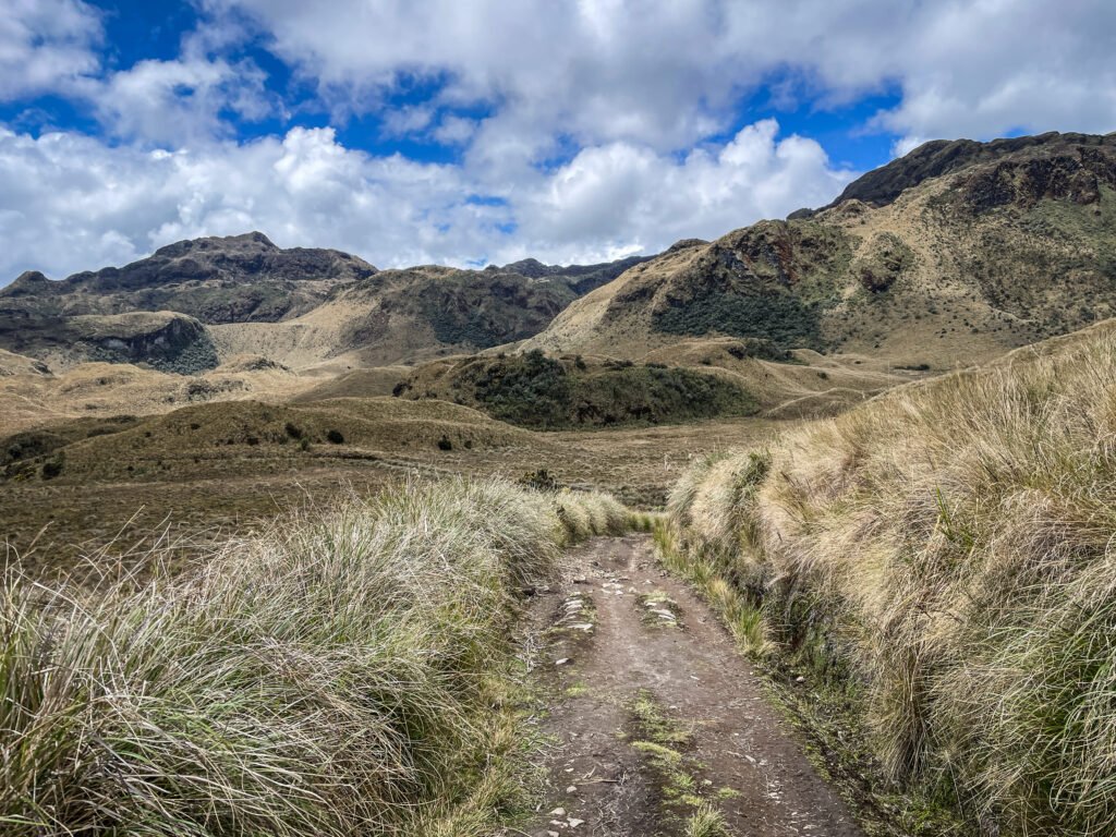
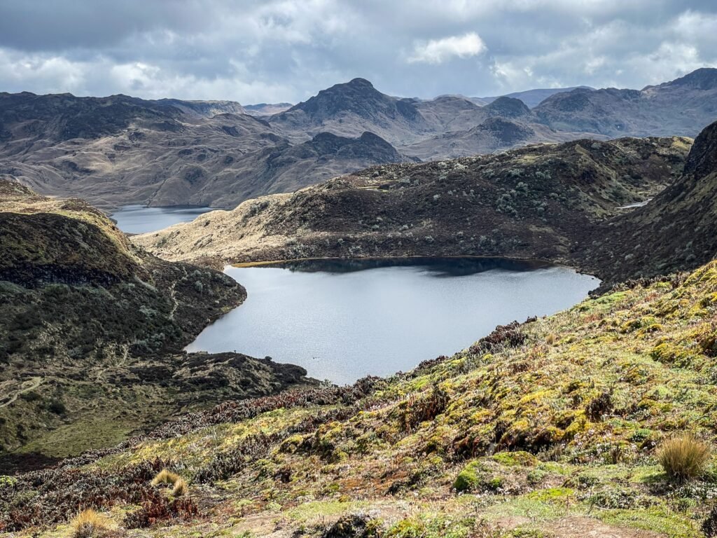
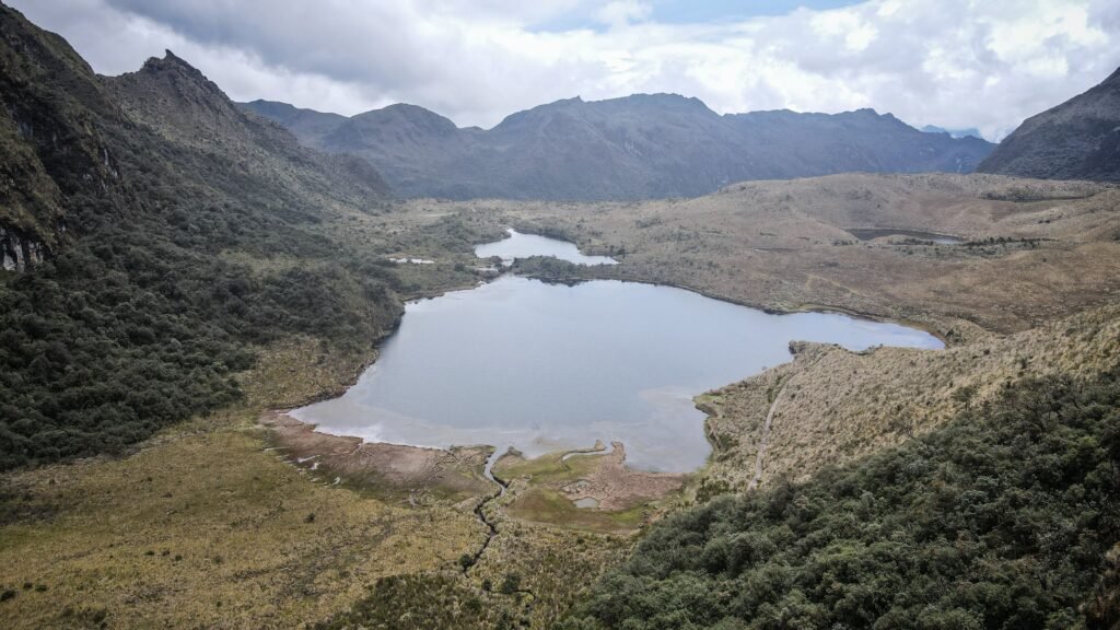
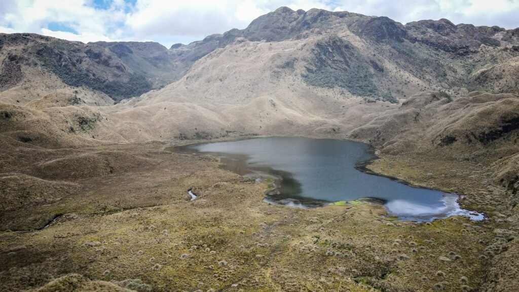
Water and Life Trail is one of the most rewarding hikes in the paramo around Papallacta. Located in the highlands of Cayambe-Coca National Park, the route crosses a remote landscape of mountain lakes, open grasslands, wetlands and small streams.
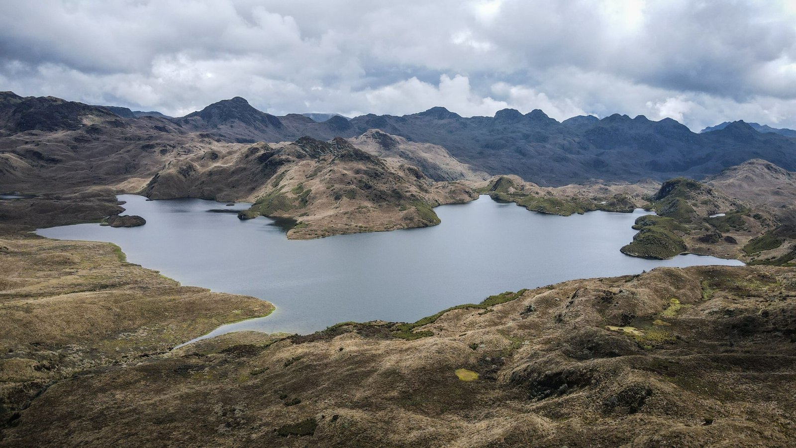
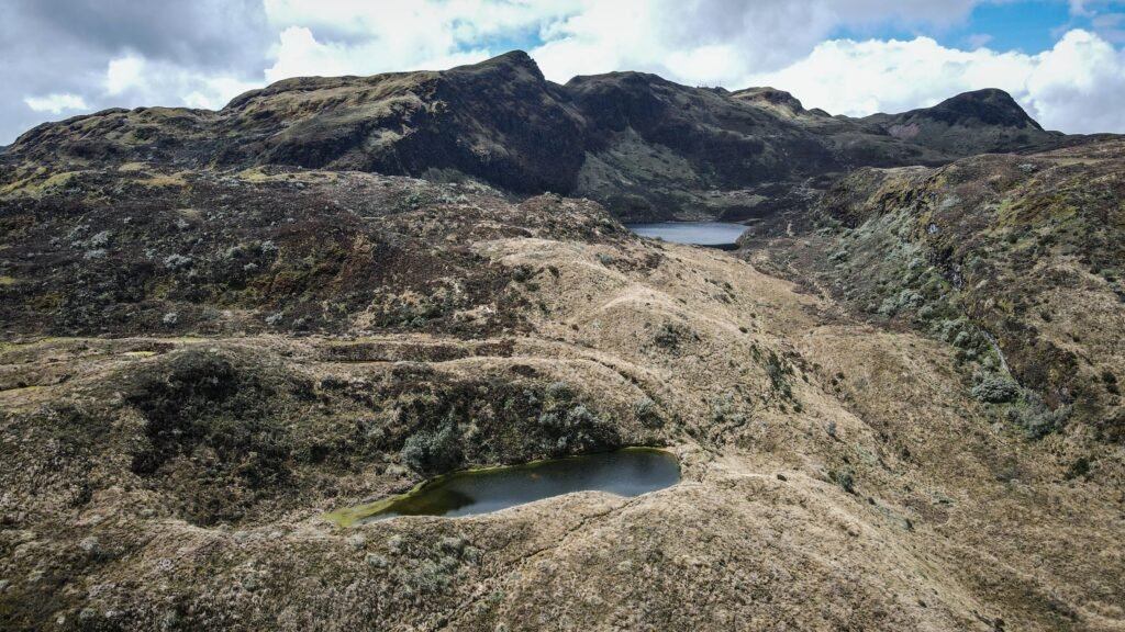
Along the way, hikers pass several beautiful Andean lagoons, including Laguna de Baños, Laguna Anteojos and Laguna Parcacocha. The scenery is typical of the paramo: wide-open grasslands, low vegetation adapted to the cold, waterlogged ground and mountains that often disappear behind passing clouds. On clear days, the surrounding peaks create an impressive backdrop, while the changing weather gives the landscape a more mysterious atmosphere.
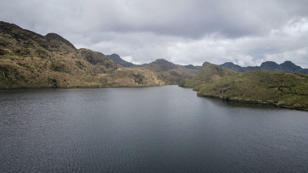
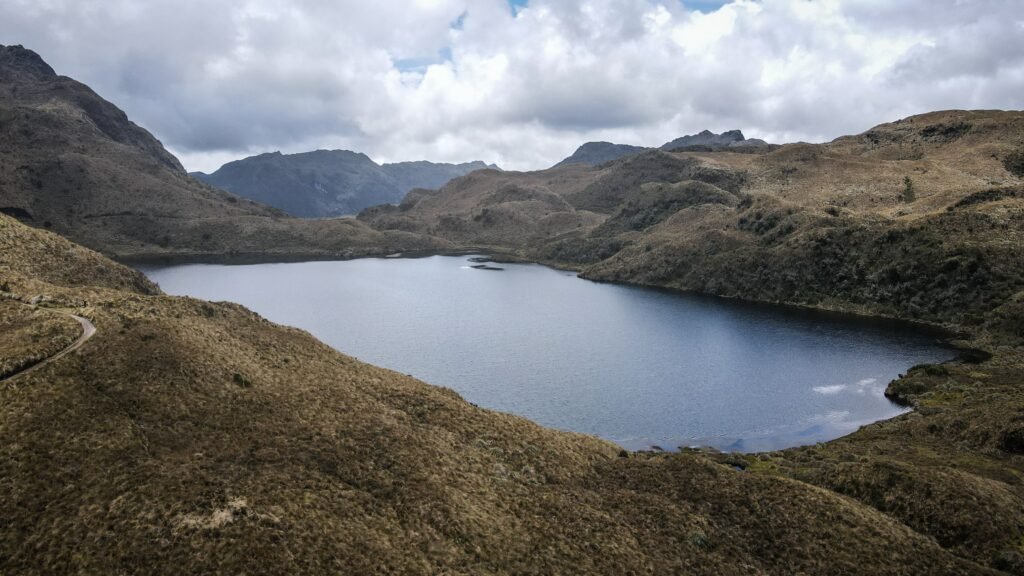
The usual starting point is near La Virgen, on the Quito–Papallacta road, but the taxi can take you even further uphill towards the antennas. The trail then descends towards the Baños checkpoint near Papallacta. The route is generally around 9–10 km long and takes approximately four to six hours, depending on your pace, weather conditions and stops along the way. Most of the hike is downhill, but this does not necessarily make it easy. The altitude, muddy ground and uneven terrain can make walking more demanding than the distance suggests. The trail also passes Cascada La Milagrosa, a waterfall that adds another highlight to the journey.
The easiest option is to arrange private transport, which should cost about 18-20 USD from Patallacta to the antennas. You may also arrange transport from the checkpoint near Milagrosa Waterfall back to Patallacta, or simply walk down to town, adding 5 km to your hike.
Sendero el Oso
Located in the páramo of Cayambe-Coca National Park, the trail crosses open mountain grasslands, wetlands and small lakes, offering a glimpse of a wilder side of Ecuador that many visitors miss when they come only for the hot springs.
The name means “Bear Trail” and refers to the Andean spectacled bear, an elusive species that inhabits these mountains. Although spotting one would be a rare treat, the area is rich in natural scenery, with wide-open views, high-altitude lagoons and a sense of remoteness despite being relatively close to Quito.
The route is generally a one-way hike, starting near the Virgen de Papallacta landmark on the Quito–Papallacta road and descending towards the Baños control point near Papallacta. It covers approximately 7–13 km and takes around 3–5 hours. It can be connected with Sendero Agua y Vida as a 17 km loop.
Much of the route lies at around 3,700–4,300 metres above sea level, where walking can feel considerably harder than at lower elevations. The ground can also be muddy and waterlogged, especially after rain.
Since this is a one-way route, arrange transport to the starting point before setting off. It should cost between 15-20 USD. You may also arrange transport from the checkpoint near Milagrosa Waterfall back to Patallacta, or simply walk down to town, adding 5 km to your hike.
Milagrosa Waterfall
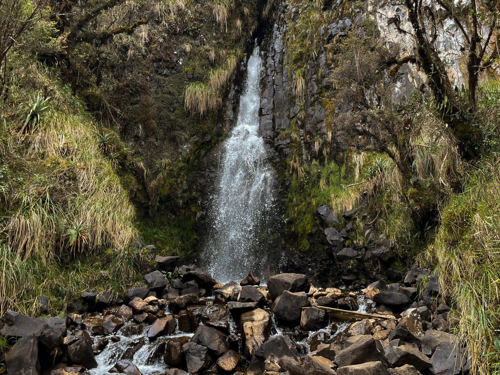
The waterfall is relatively small compared with some of Ecuador’s more famous cascades, but its setting is what makes it appealing. The surrounding landscape is wild and often quiet, with the sound of rushing water breaking through the otherwise peaceful mountain environment.
The waterfall is reached via the road from Papallacta towards Laguna Baños. If you are travelling by car, you can drive towards the park access checkpoint and follow the local signs and trail to the waterfall. The final section is a short walk, often described as roughly 900 metres from the access area.
If you do not have your own vehicle, you will need to arrange a taxi.
The waterfall can be visited as a relatively short excursion, but it is also part of longer hiking routes through the surrounding high-altitude landscape, including routes towards Laguna Baños and Laguna Parcacocha (Sendero Agua y Vida or Sendero el Oso).